Hargis Family
aka Hoch, Moore
Hargis Family
Texas Historical Marker: no
- Primary Town: Coupland
- Secondary Town: Taylor
- Cemetery Relocated to: no relocation
Historic Texas Cemetery Designation: Yes (5/8/2023)
- Williamson County Clerk Instrument Number: unknown
- Williamson County Appraisal District Property ID: R334076 & R019434

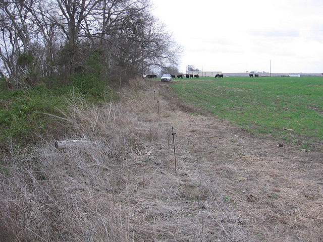
Hargis Family Photo Courtesy David Hollingsworth 2006

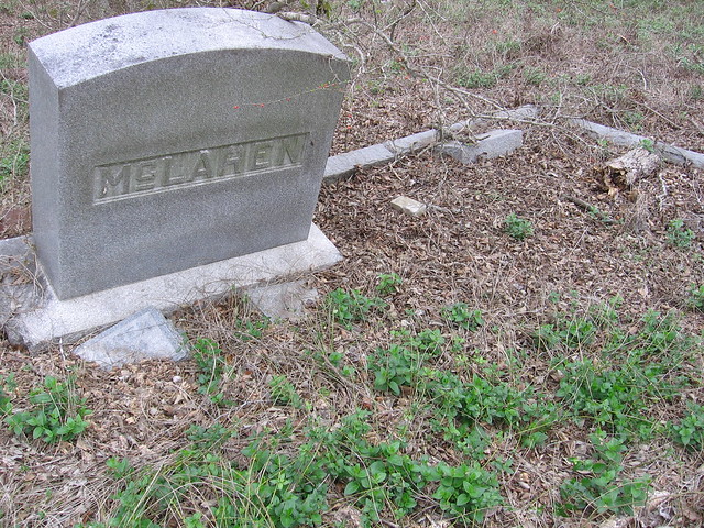
Hargis Family Photo Courtesy David Hollingsworth 2006

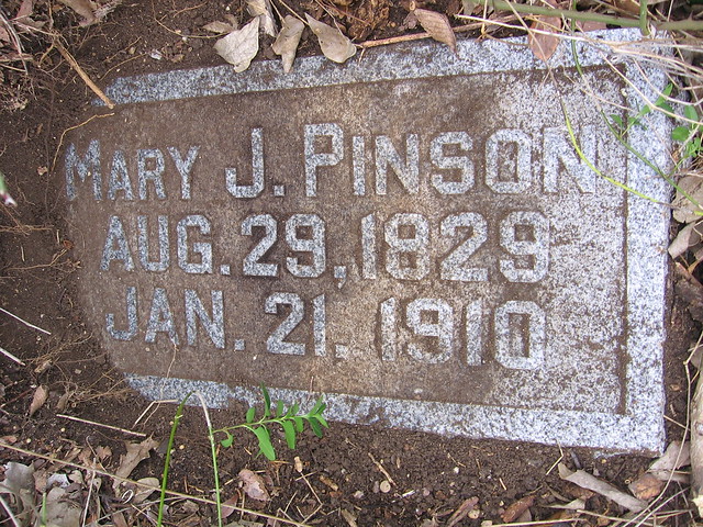
Hargis Family Photo Courtesy David Hollingsworth 2006

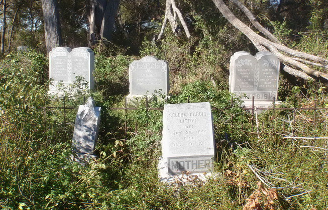
Hargis Family Photo Courtesy John Christeson November 2010
Notes:
WCAD: 2300 CR 453
WCHC’s 1999 Volume III, pg 95: Per Clara Scarbrough 2-7-1984…”The Hargis Cemetery S of Taylor is near Co. R. 453. It consists of 1 acre, fenced, provided by the Hargis family in perpetuity, along with a fund which could still be in a Taylor bank. Ruth Mantor will investigate. The fund was supposed to take care of its upkeep. However, the plot is so overgrown by brambles, brush, shrubs & trees to be inpenetrable for surveying. To get there drive south on Hwy 95 from Taylor, turn east on co. rd. 453, drive 5.5 mile on 453, then turn south into the gravel drive of Mrs. Lydia Eiben, who owns the farm around this cemetery. Then go to back of her house through a pasture, .5 mile to the cemetery, which is southwest of the house and near Brushy Creek. Impossible to list Feb 7, 1984. (City National Bank) From 1964 list of Confederate Veterans buried in Williamson County: DOMETRIC HARGIS 11-17-1847 – 7-29-1935; J. RUFUS HARGIS 6-7-1844 – 10-11-1923; JACK MOORE 1-26-1848 – 11-3-1927″
FindAGrave.com: “The Hargis Cemetery is south of Taylor and north of Coupland. It consists of 1 acre, fenced, provided by the Hargis family in perpetuity. To reach this cemetery, go south of Taylor on TX 95 to the junction with CR-453. Turn east on this road and continue to 2300 CR-453 which is on the mailbox and the property of Douglas Malish. Although the cemetery is directly behind the farm to the west of the Malish property it is on and only accessible from the Malish property. The GPS coordinates are at the cemetery gate.
The cemetery is overgrown by ground cover, brambles, brush, shrubs and trees and a loping shears is necessary to get to some of the gravestones. CAUTION: The area is known for its abundance of rattlesnakes, which seem to nest at the rear of the cemetery. As the cemetery is on private property, permission from the owner is absolutely necessary for access. Telephone number is 512-352-6896.”
Location is Approximate (1999 Map Information): yes (1999 mapped I5) 8/26/16
Latitude: 30.50486000
Longitude: -97.36586100
372