Harper Family
aka Harper Price Family, George S. C. Harper Family
Harper Family
Texas Historical Marker: no
- Primary Town: Georgetown
- Secondary Town(s): none
- Cemetery Relocated to: no relocation
Historic Texas Cemetery Designation: Yes (3/31/2006)
- Williamson County Clerk Instrument Number: 2006025125
- Williamson Central Appraisal District Property ID: R038675

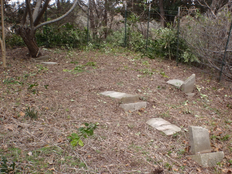
Harper Family Photo Courtesy John Christeson

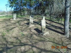
Harper Family tombstones restored by Wayne Ware & John Christeson March 2018 Photo Courtesy Donald Stephens on Facebook

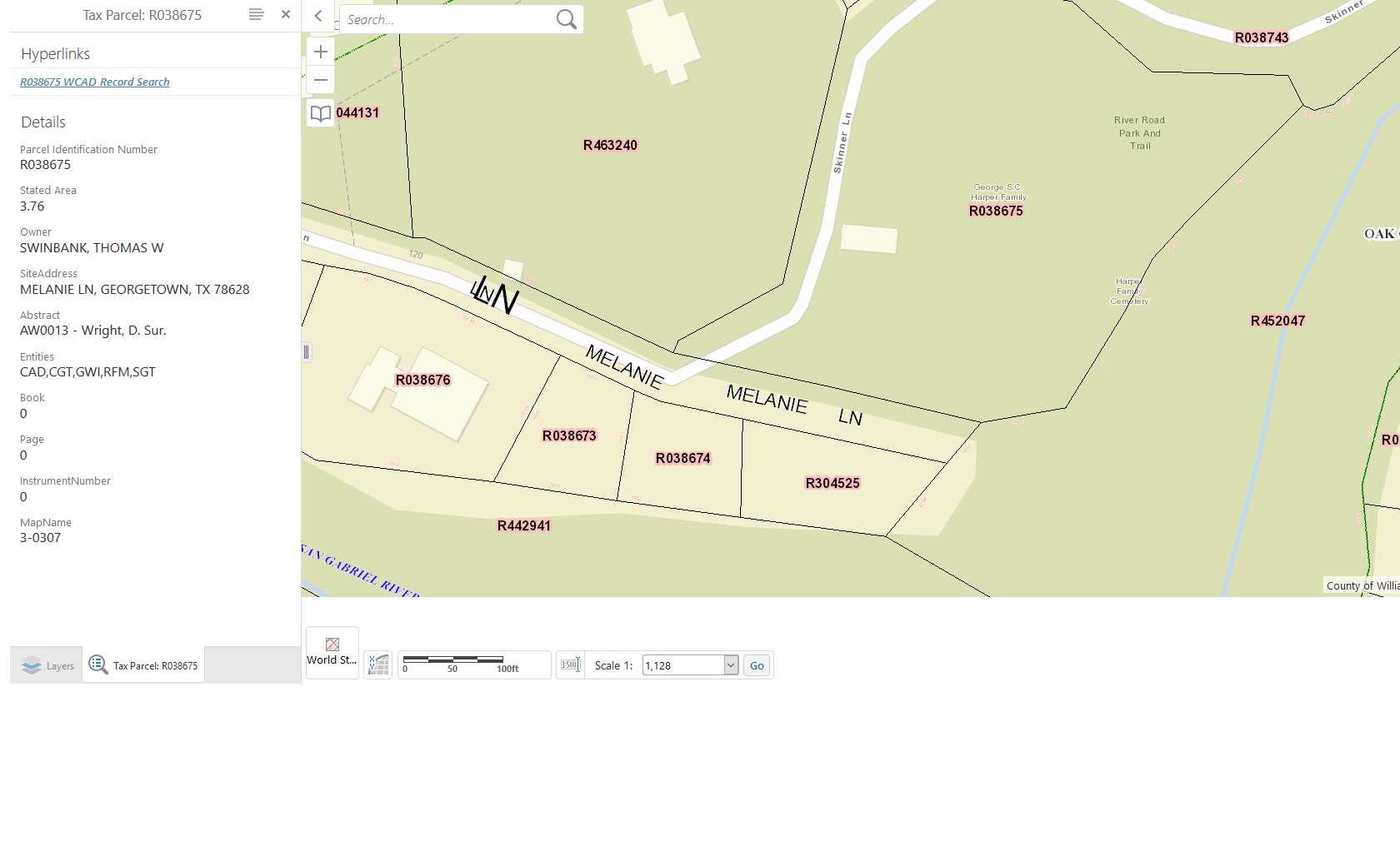
Harper Family WCAD map of R038676
Notes:
Find-A-Grave, https://www.findagrave.com/cemetery/2350160/harper-price-cemetery: “This is a small abandoned cemetery is on 3.76 acres of land owned by Thomas W. & Cindy Swinbank at 120 Melanie Lane in Georgetown. Contact them before attempting to visit this cemetery. The cemetery overlooks the San Gabriel hiking and bike trail. The cemetery has been cleared but needs yearly maintenance [sic]. There are five gravestones, all broken off their bases and most of the tops also broken in two or more parts. All can be read.
To reach this cemetery go west on Williams Drive (FM 2338) from Georgetown to the junction with Bootys Crossing Road at the stoplight. Turn South on Bootys Crossing Road until you come to the second junction with Oak Crest Lane. Turn left on Oak Crest Lane and then turn right on Melanie Lane. Melanie Lane ends at a closed gate. Walk around the gate and go downhill on the old road which ends at the North San Gabriel River Trail. Turn left on the trail about 16 paces and you will see an old trail slanting up the hill to the north. Take the trail and you will see the fenced in cemetery (about 25 x 35 feet) a short distance ahead in the trees. It is about 50 feet directly north of the trail.”
In 2018, this cemetery is maintained by the “Cemetery Restoration Volunteers” as one of the abandoned cemeteries maintained on a rotation basis of 19 cemeteries in Williamson County. The volunteers are under the direction of WCHC’s Cemetery Committee Chair, Joe Plunkett. In 2019, there are 9 volunteers, using their own equipment. Donations received by WCHC help to defray costs of restoring tombstones.
Location is Approximate (1999 Map Information):(1999 mapped E4) Verified 9/6
Latitude: 30.66246000
Longitude: -97.70726000
469