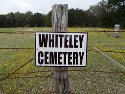
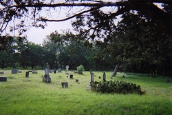
Whiteley
aka 1999 map misspelled as Whitley
Whiteley
Texas Historical Marker: no
- Primary Town: Georgetown
- Secondary Town(s): none
- Cemetery Relocated to: no relocation
Historic Texas Cemetery Designation: no
- Williamson County Clerk Instrument Number: unknown
- Williamson Central Appraisal District Property ID: R351056

Whiteley from FindAGrave 2017

Whiteley from FindAGrave 2007
Notes:
Mapped per THC coordinates.
2016 WCAD: 4511 W SH 29, Georgetown (access through private property at 4575 W SH 29)
WCHC’s Vol I, pg 332…”located 5 miles W of Georgetown (Hwy 29) on old Schneider place.”
The cemetery is located about 5 miles W of IH-35 in Georgetown off TX 29 – 387.7 ft past Cedar Hollow Rd. Turn in at 4575 TX 29 (gated) dirt road. Going S on dirt road – at Y intersection – take the left dirt road to end. Cemetery is .65 miles from SH 29.
Location is Approximate (1999 Map Information): (1999 mapped D4) verified 9/4
Latitude: 30.62381681
Longitude: -97.76663303
263