Cedar Break – Miller I
aka Miller I, Old Miller, Cedar Grove
Cedar Break – Miller I
Texas Historical Marker: no
- Primary Town: Leander
- Secondary Town(s): Liberty Hill
- Cemetery Relocated to: no relocation
Historic Texas Cemetery Designation: no
- Williamson County Clerk Instrument Number: unknown
- Williamson Central Appraisal District Property ID: R022823
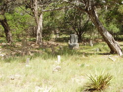
Cedar Break-Miller I Photo Courtesy John Christeson 2010
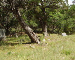
Cedar Break-Miller I Photo Courtesy John Christeson 2010
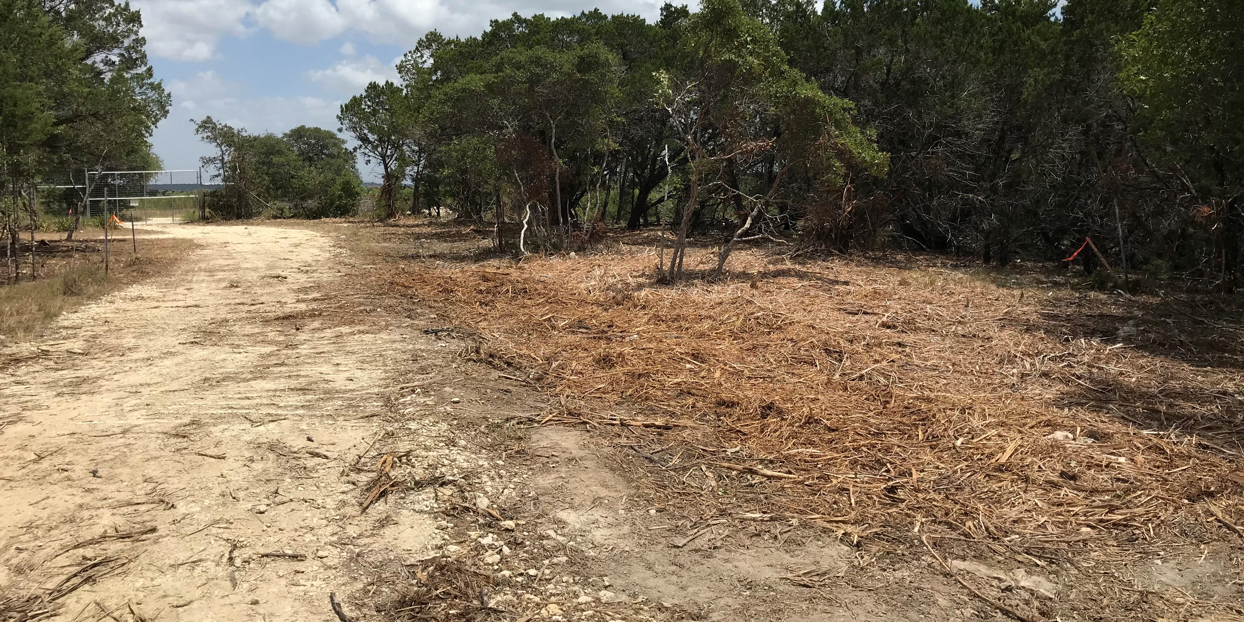
CM Cedar Break-Miller I Leander Gate fence replaced new owners Photo Courtesy Nancy Bell 08 09 2020
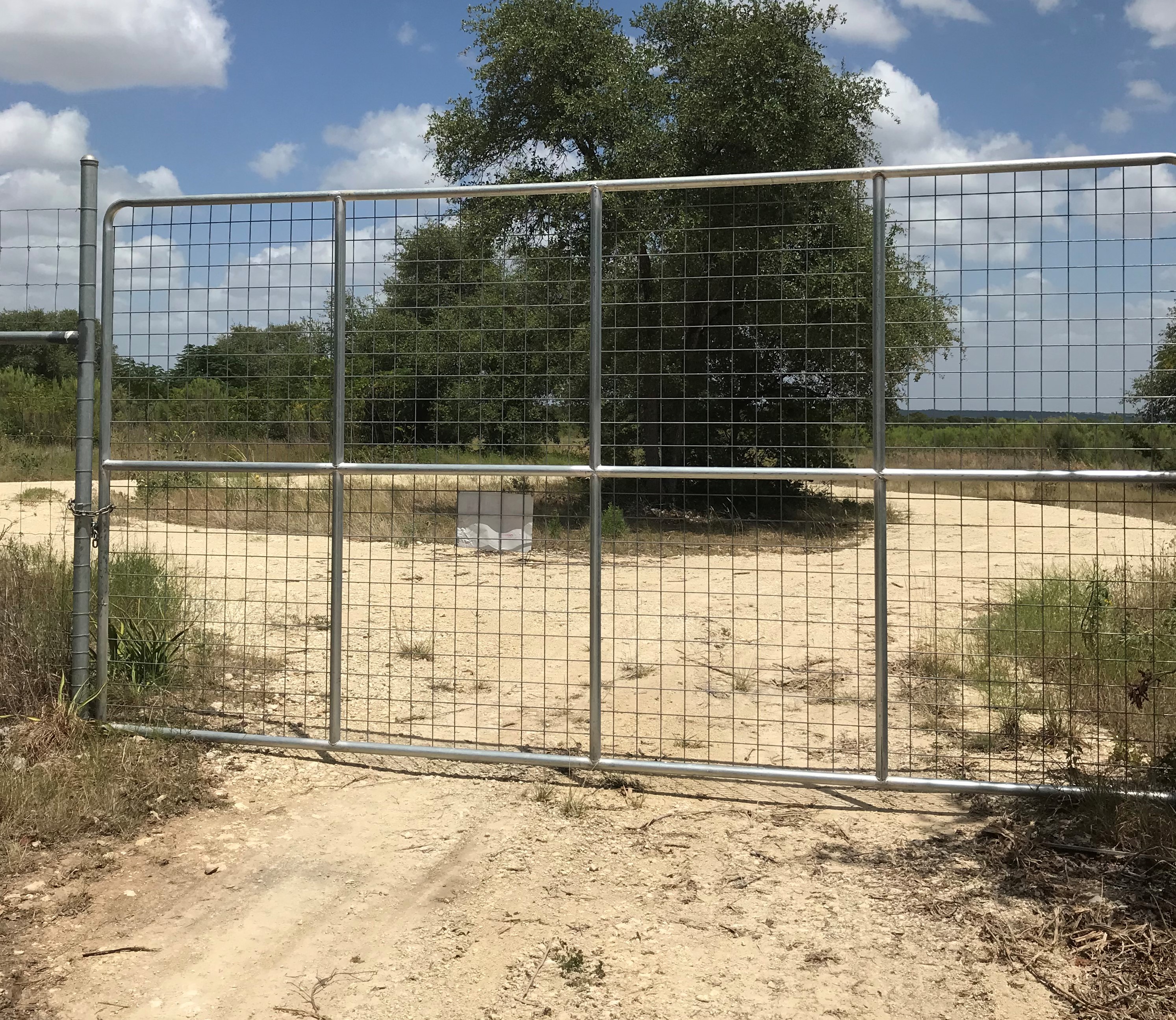
CM Cedar Break-Miller I Leander Gate fence replaced new owners Photo Courtesy Nancy Bell 08 09 2020
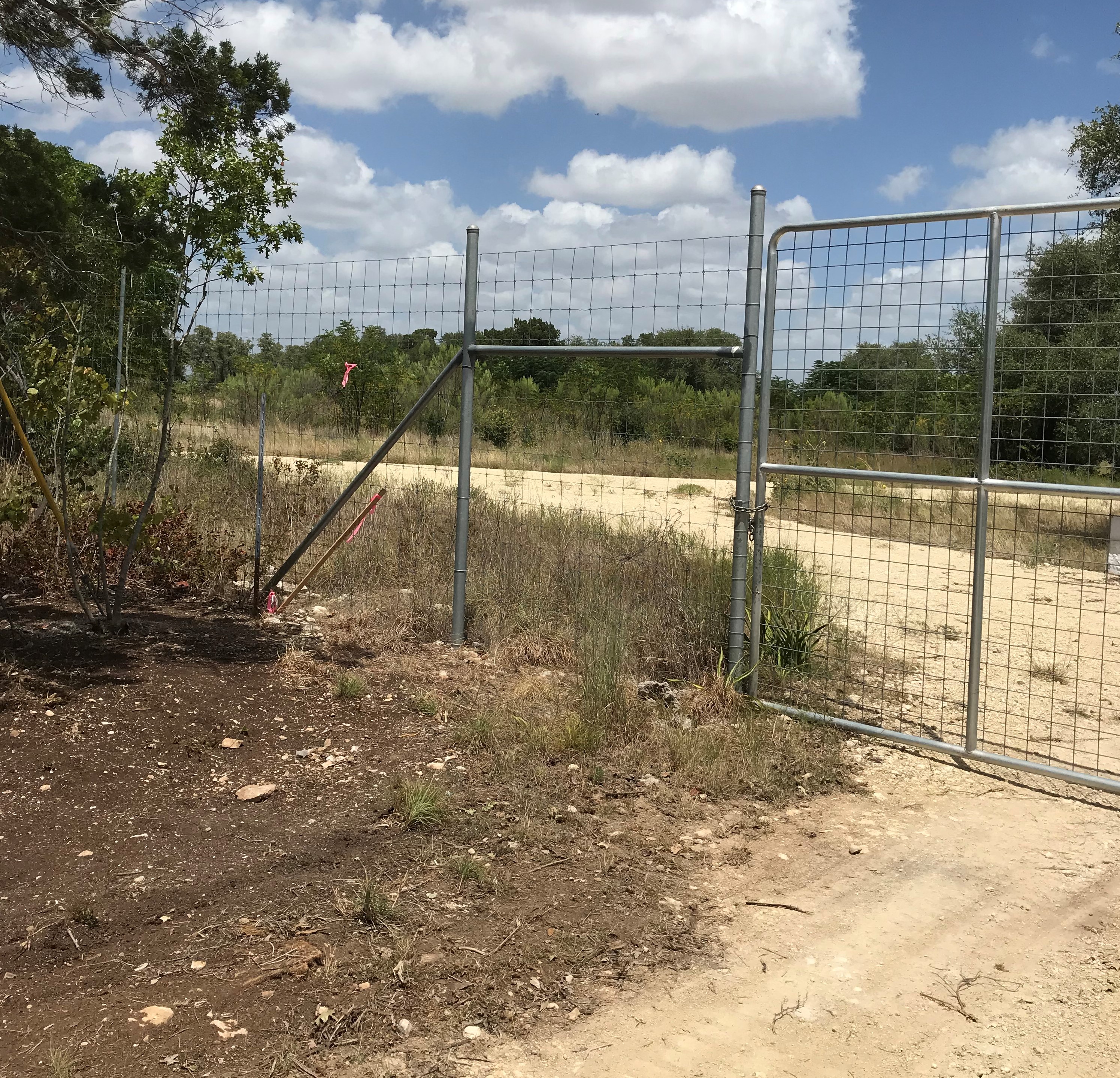
CM Cedar Break-Miller I Leander Gate fence replaced new owners Photo Courtesy Nancy Bell 08 09 2020
Additional Pictures in pdf format:
CM Cedar Break-Miller 1 Photo Courtesy Kathy Howell Sept 20 2020
CM Cedar Break-Miller 1 Photo Courtesy Kathy Howell Sept 20 2020 2
CM Cedar Break-Miller 1 Photo Courtesy Kathy Howell Sept 20 2020 3
CM Cedar Break-Miller 1 Photo Courtesy Kathy Howell Sept 20 2020 4
CM Cedar Break-Miller 1 Photo Courtesy Kathy Howell Sept 20 2020 5
Notes:
WCHC’s Vol I, pg 246 per Arthur Wells & Myreta Matthews 1974…”called Cedar Brake [sic] Cemetery by local people. In the Cedar Brakes [sic] on the W side of South San Gabriel River a mile or more E of the new Miller Cemetery on the Bagdad Road between Liberty Hill & Leander.”
From Bagdad Rd look for the junction with Live Oak Rd just N of the Miller Cemetery. Continue on Live Oak Rd until it becomes a dirt road & ends at locked gate. The cemetery is almost due N about a hundred yards in the woods surrounded by a wire fence & is of about one to two acres in size. A lot of graves have unmarked field stones & cemetery markers that can’t be read. Appears to be abandoned. [2020 Update: landowner planning to maintain cemetery.]
Called “Cedar Brake [sic] Cemetery” by local people. Others refer to it as Miller One or the Old Miller Cemetery. It predates the Miller Cemetery on Bagdad Road.
Location is Approximate (1999 Map Information): yes (1999 mapped B4) OK 10/28*
Latitude: 30.61779900
Longitude: -97.88334000
378