Calvary
aka Mount Calvary, Reouiesc no np oe Odpocinte v Pokoli
Calvary
Texas Historical Marker: no
- Primary Town: Granger
- Secondary Town(s): none
- Cemetery Relocated to: no relocation
Historic Texas Cemetery Designation: no
- Williamson County Clerk Instrument Number: unknown
- Williamson Central Appraisal District Property ID: R347052

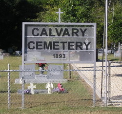
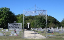
Calvary Photo Courtesy John Christeson 2007

Calvary Photo Courtesy John Christeson 2007
Notes:
By John Christeson Oct 27, 2007 on Find-A-Grave: “From Granger, TX take FM 971 W towards Georgetown, TX. Continue 1.7 miles to the junction with CR 335. Turn right or N on CR 335 .4 miles & the cemetery will be on the left. New Calvary Cemetery is on the right side of the road. Calvary cemetery is on the left side of the road. Both cemeteries are enclosed by fences.”
Location is Approximate (1999 Map Information): (1999 mapped H3) Verified 9/28
Longitude: -97.47328799
Latitude: 30.71120588
363