Union Hill
aka Robertson School, Mount Union, Cross Roads, McNutt
Union Hill
Texas Historical Marker: no
- Primary Town: Round Rock
- Secondary Town(s): none
- Cemetery Relocated to: no relocation
Historic Texas Cemetery Designation: Yes (5/29/2009)
- Williamson County Clerk Instrument Number: 2009037527
- Williamson Central Appraisal District Property ID: R321531

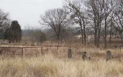
Union Hill Before Preservation Project Photo Courtesy John Christeson January 2008

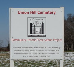
Union Hill After Preservation Project Photo Courtesy John Christeson February 2010

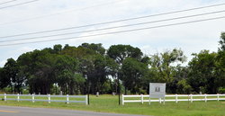
Union Hill After Preservation Project Photo Courtesy John Christeson June 2014
Notes:
Mapped per THC coordinates.
2016 WCAD: 5525 FM 1460
The cemetery is located at the junction of FM 1460 & CR 186.
Location is Approximate (1999 Map Information): (1999 mapped E4) Verified 9/4/16
Longitude: -97.65290923
Latitude: 30.58131350
308