Rubarth
aka Joseph Rubarth
Rubarth
Texas Historical Marker: no
- Primary Town: Granger
- Secondary Town(s): Taylor
- Cemetery Relocated to: no relocation
Historic Texas Cemetery Designation: no
- Williamson County Clerk Instrument Number: 19567482DR
- Williamson Central Appraisal District Property ID: R005677=9.48 acres (in this area as Roy Bernhardt owned 190.97 acres)

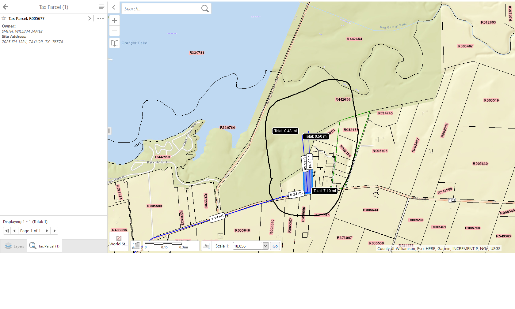
Rubarth WCAD R005677 Map – area circled

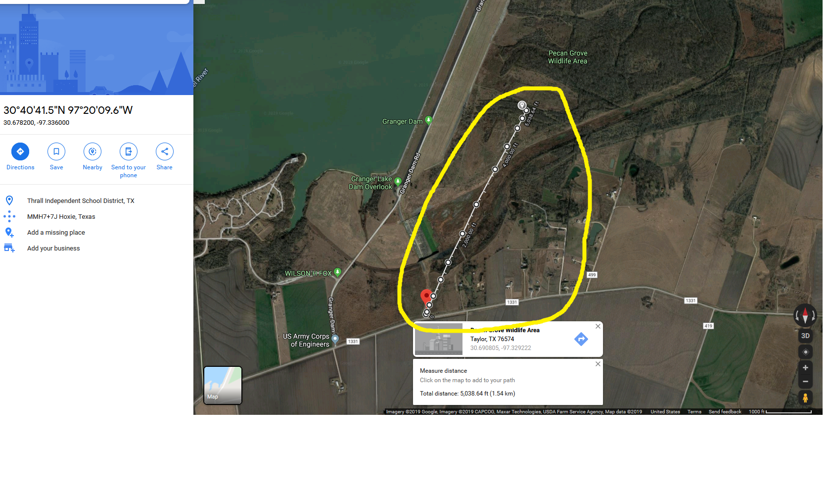
Rubarth Google Map – area circled from private marker following its directions
Notes:
2016 WCAD: 7025 FM 1331, Taylor
WCHC’s Vol III, pgs 169-170: Per Clara Scarbrough 1980… ‘located between Circleville & Hare. It is 7.2 miles E of the intersection of Hwy 95 & FM 1331; by following FM 1331 from this intersection, you reach the private driveway to the Roy Bernhardt home on the N side of the road. Drive to the side of the home, through a gap in the rear, then in a NW direction to an old black jack oak tree, near which the cemetery is located. The cemetery is .5 mile NNW of the turnoff from FM 1331.”
Survey notes in Deed 19567482DR: “…containing in all 190.97 acres, of which about 0.10 acres is in a private cemetery or graveyard located approximately in the center of the tract…”
Click here to read about Rubarth Cemetery & Joseph Rubarth’s bio by George Frederick Pool & Clara Stearns Scarbrough from WCHC’s Vol III pgs 169-170
Coordinates are estimates.
Location is Approximate (1999 Map Information): yes (1999 mapped I3) OK 9/9
Latitude: 30.691
Longitude: -97.329
344