Mauldin
Mauldin
Texas Historical Marker: no
- Primary Town: Liberty Hill
- Secondary Town(s): none
- Cemetery Relocated to: no relocation
Historic Texas Cemetery Designation: no
- Williamson County Clerk Instrument Number: 2017039239
- Williamson Central Appraisal District Property ID: R021885=original 64.0143-acre tract with house before developer subdivided tract in 2017, creating Boodiddle Subdivision. After tract subdivided, add R566075, R566076 (strong possibility the cemetery is located on this parcel – 2018020002), R566077, R570640, & R570641.
The following pictures were taken in 1999 & 2000 by Nancy Bell after neighbor, Milton Pogue told her about the burial site (see below to read the story & history about the area from Save Texas Cemeteries’ article):
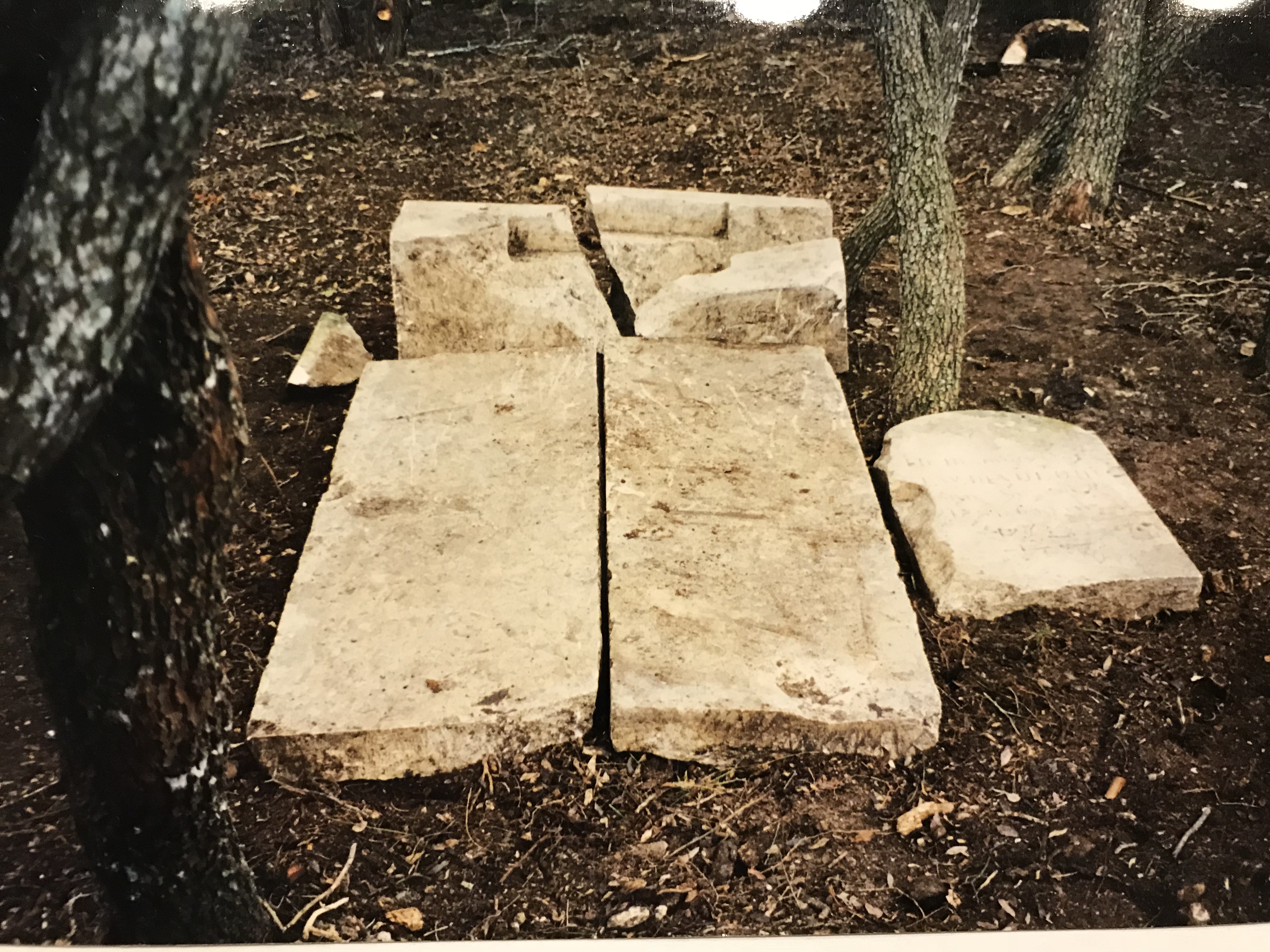
Mauldin Gravesite area cleaned up Photo Courtesy Nancy Bell January 1999
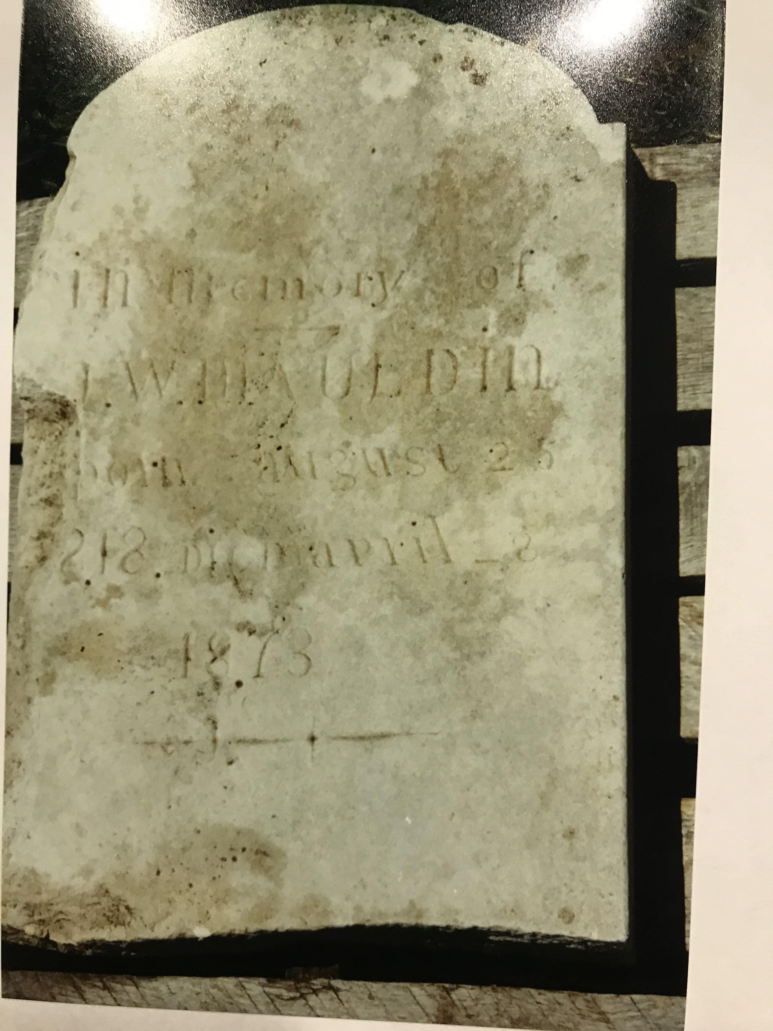
Mauldin Headstone after cleaning up Photo Courtesy Nancy Bell April 2000
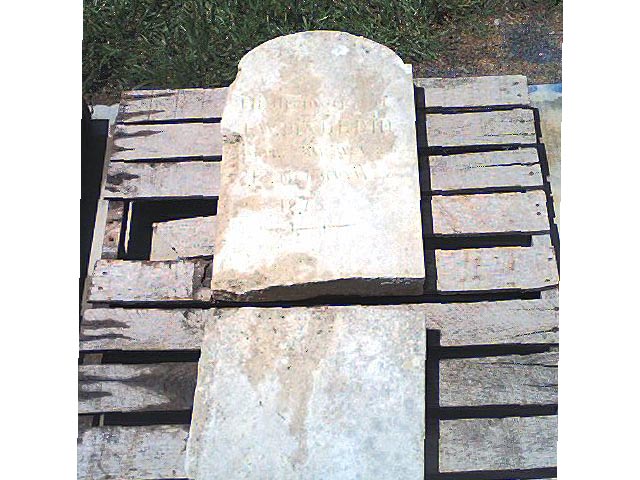
Mauldin Gravesite after cleaning up Photo Courtesy Nancy Bell April 2000
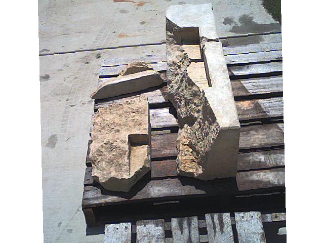
Mauldin Gravesite after cleaning up Photo Courtesy Nancy Bell April 2000
The following notation was in WCHC’s notebook pg 249 written by Milton Pogue’s father, Carl Pogue about the Mauldin Gravesite (note death year is different from the year on the gravestone):
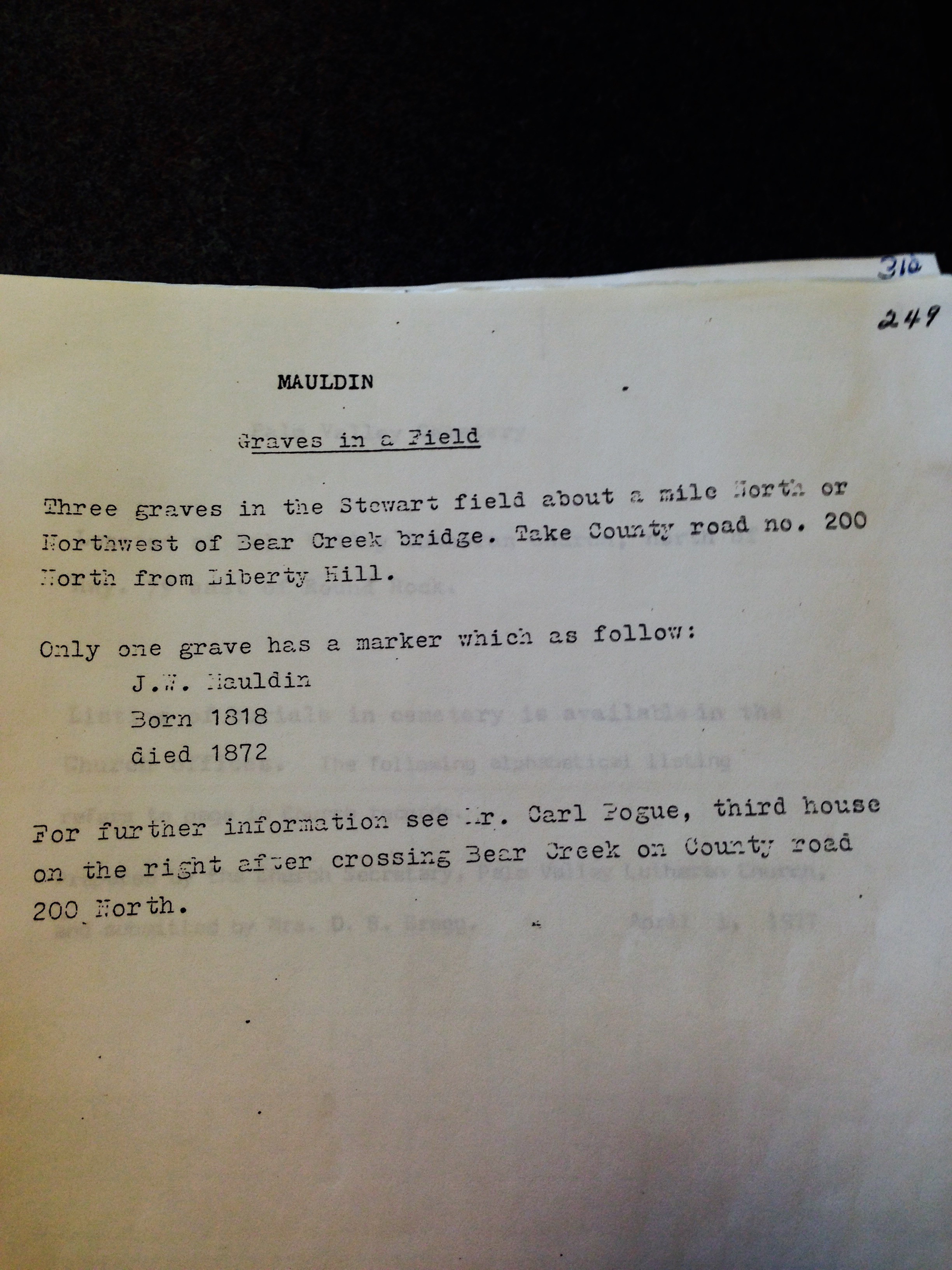
Mauldin written by Carl Pogue Photo Courtesy Nancy Bell July 2016
The following letter was written by JoAnn Henderson in 2000, descendant of the Mauldin family:
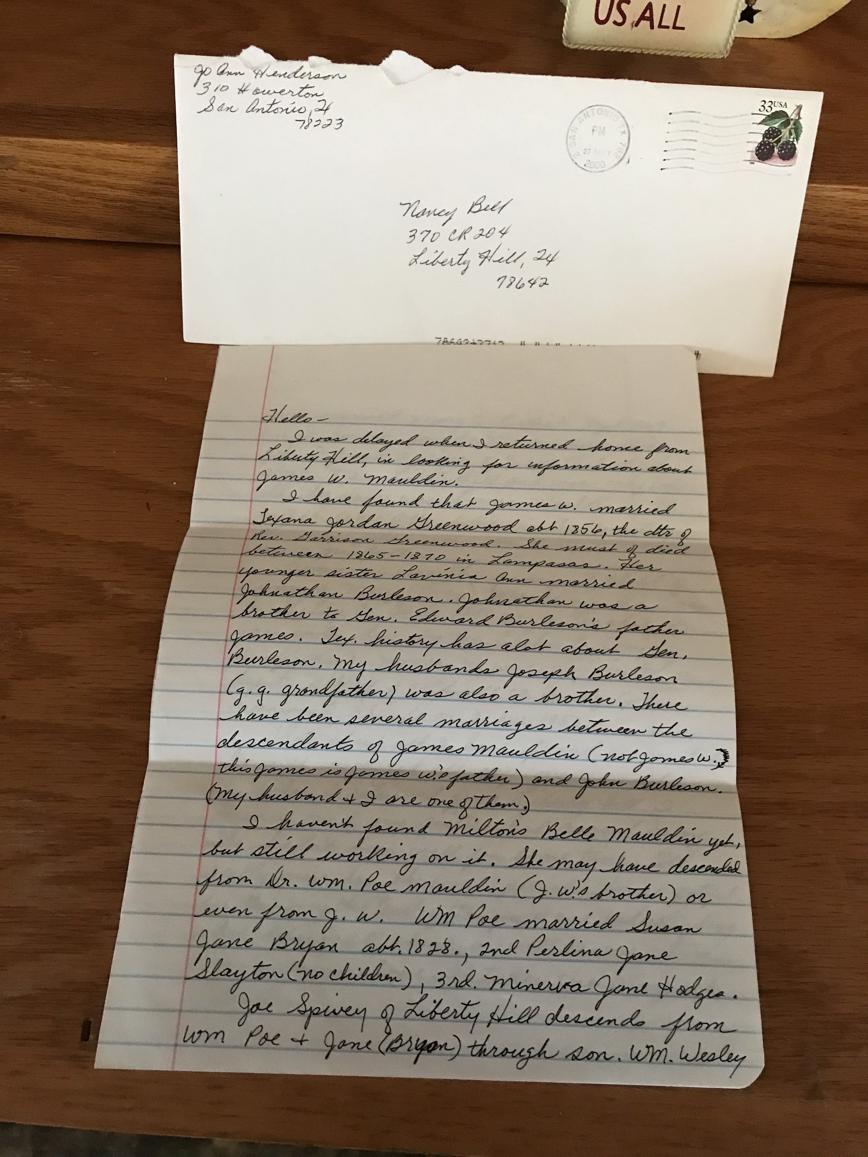
Mauldin Letter from JoAnn Henderson Photo Courtesy Nancy Bell January 2018
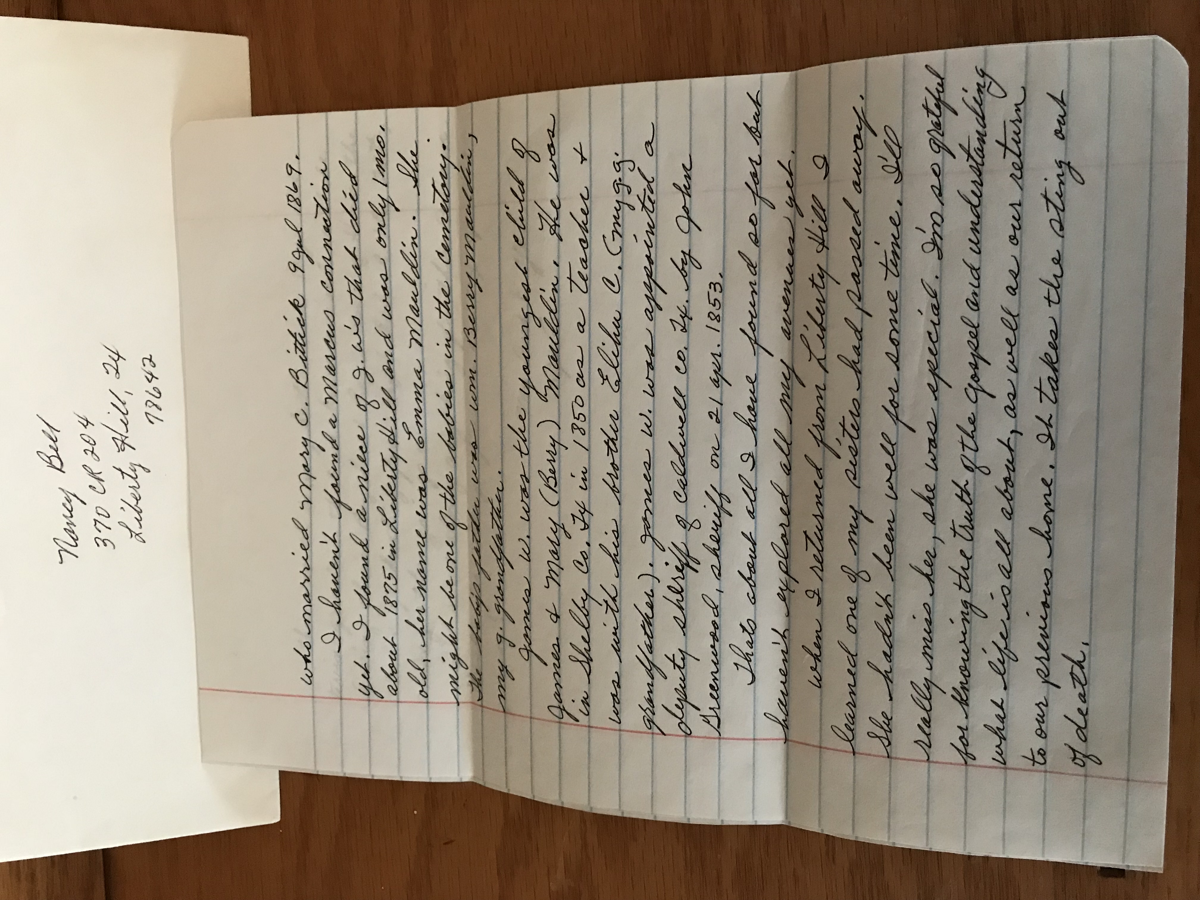
Mauldin Letter from JoAnn Henderson Photo Courtesy Nancy Bell January 2018
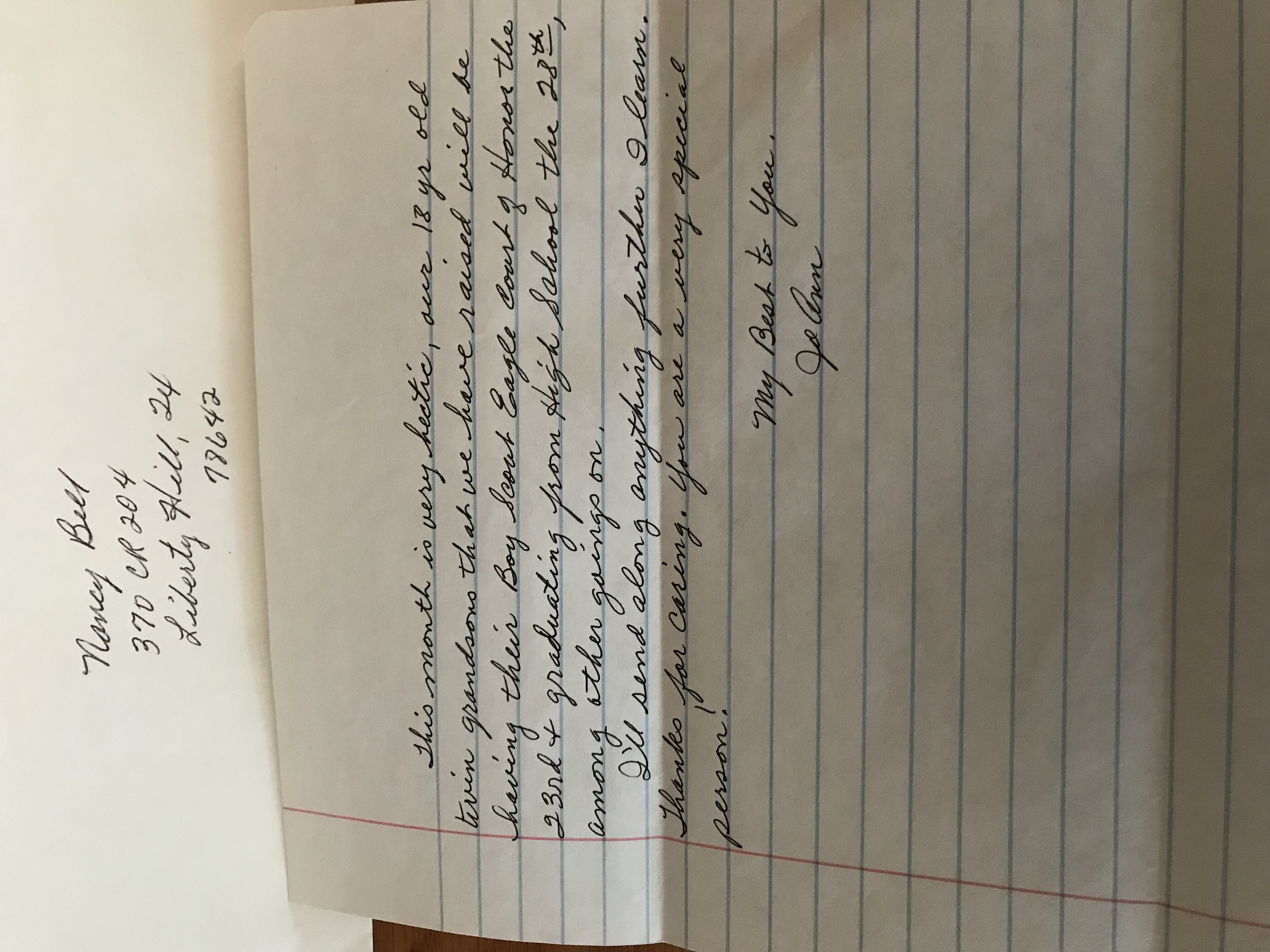
Mauldin Letter from JoAnn Henderson Photo Courtesy Nancy Bell January 2018
Click here to read “Mauldin Burial Site in Liberty Hill” from Save Texas Cemeteries’ The Gravestone Speaks, Volume 6, Number 2, Spring 2000 (Source: http://www.rootsweb.ancestry.com/~txstc/newsletter/archive/mauldin.html)
Click here to see the gravesite during the drought in 2012 on Google Earth – in the field, bottom of photo there are trees with the fence protruding out in the field going around the trees
Click here to see the gravesite during the drought in 2012 on Google Earth showing the gravesite in relation to the house and 2 barns with the coordinates
The following pictures were taken in 2018 during the subdividing construction work of the 64.0143-acre tract around the Mauldin gravesite:
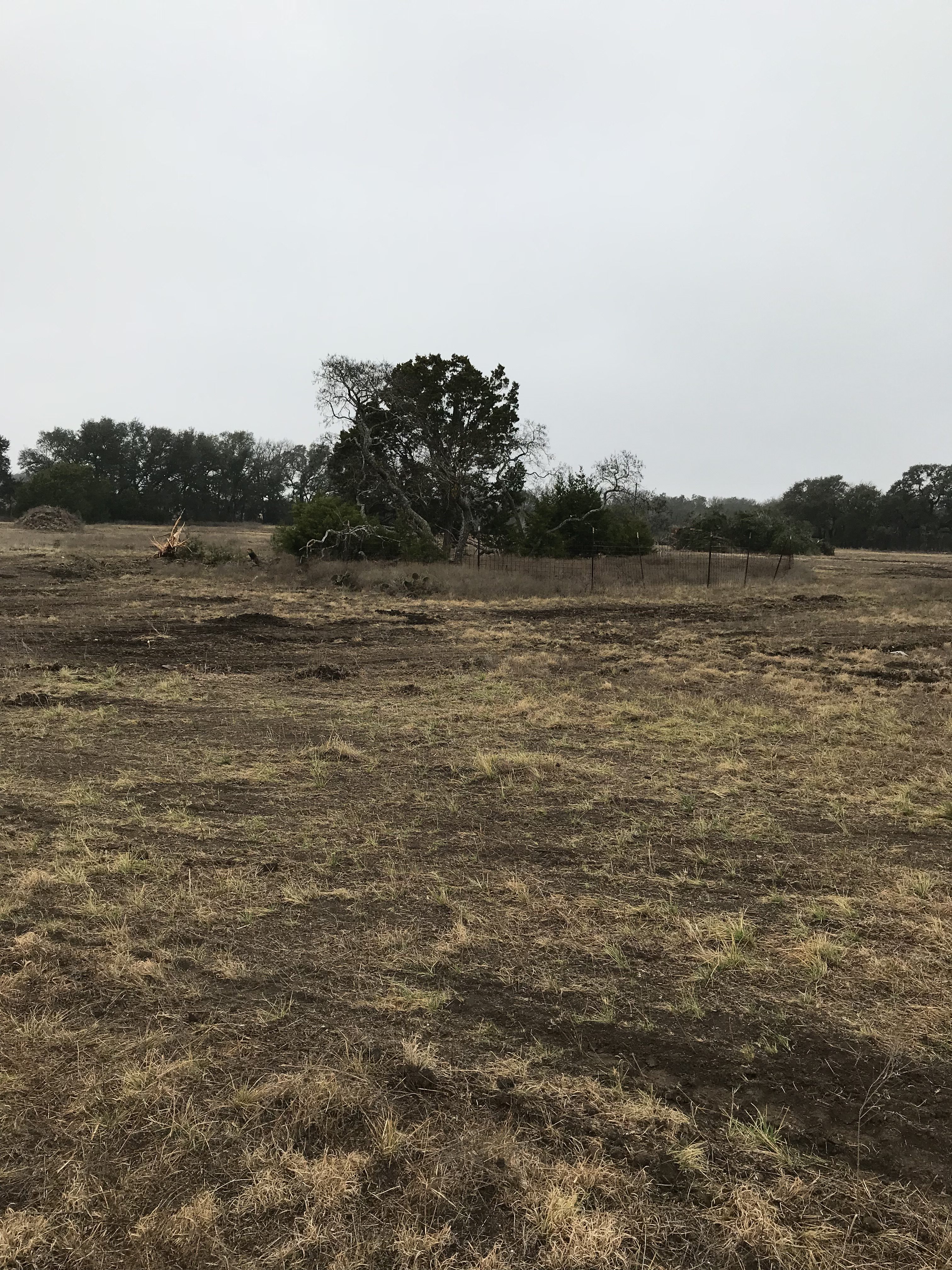
Mauldin subdividing construction work looking at gravesite area Photo Courtesy Nancy Bell January 2018
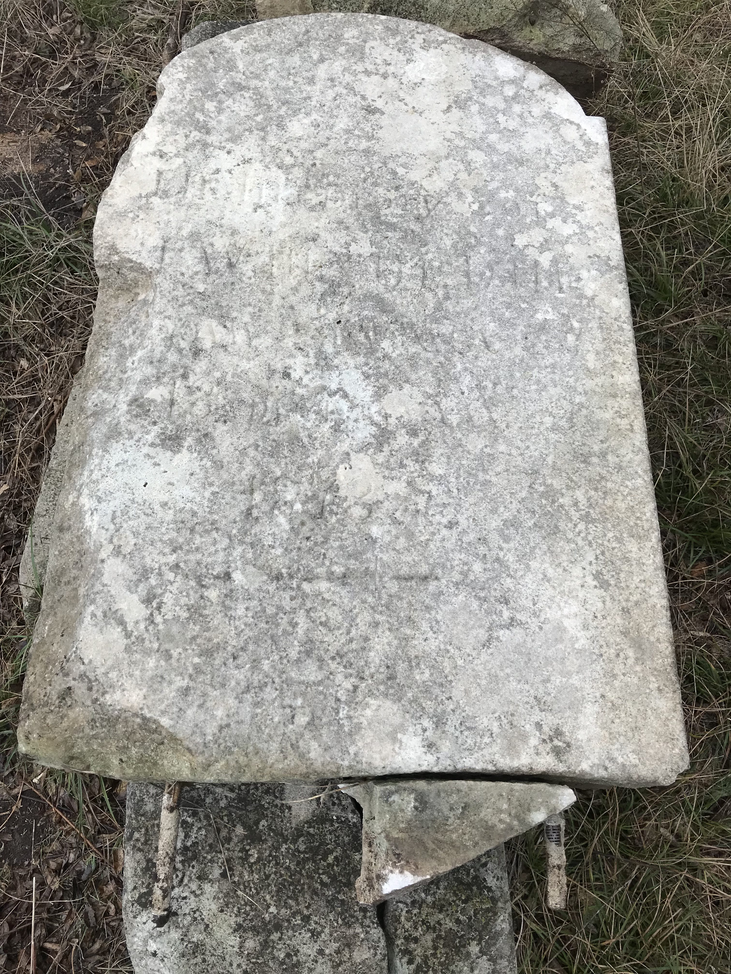
Mauldin subdividing construction looking at gravestone in gravesite fenced in area Photo Courtesy Nancy Bell January 2018
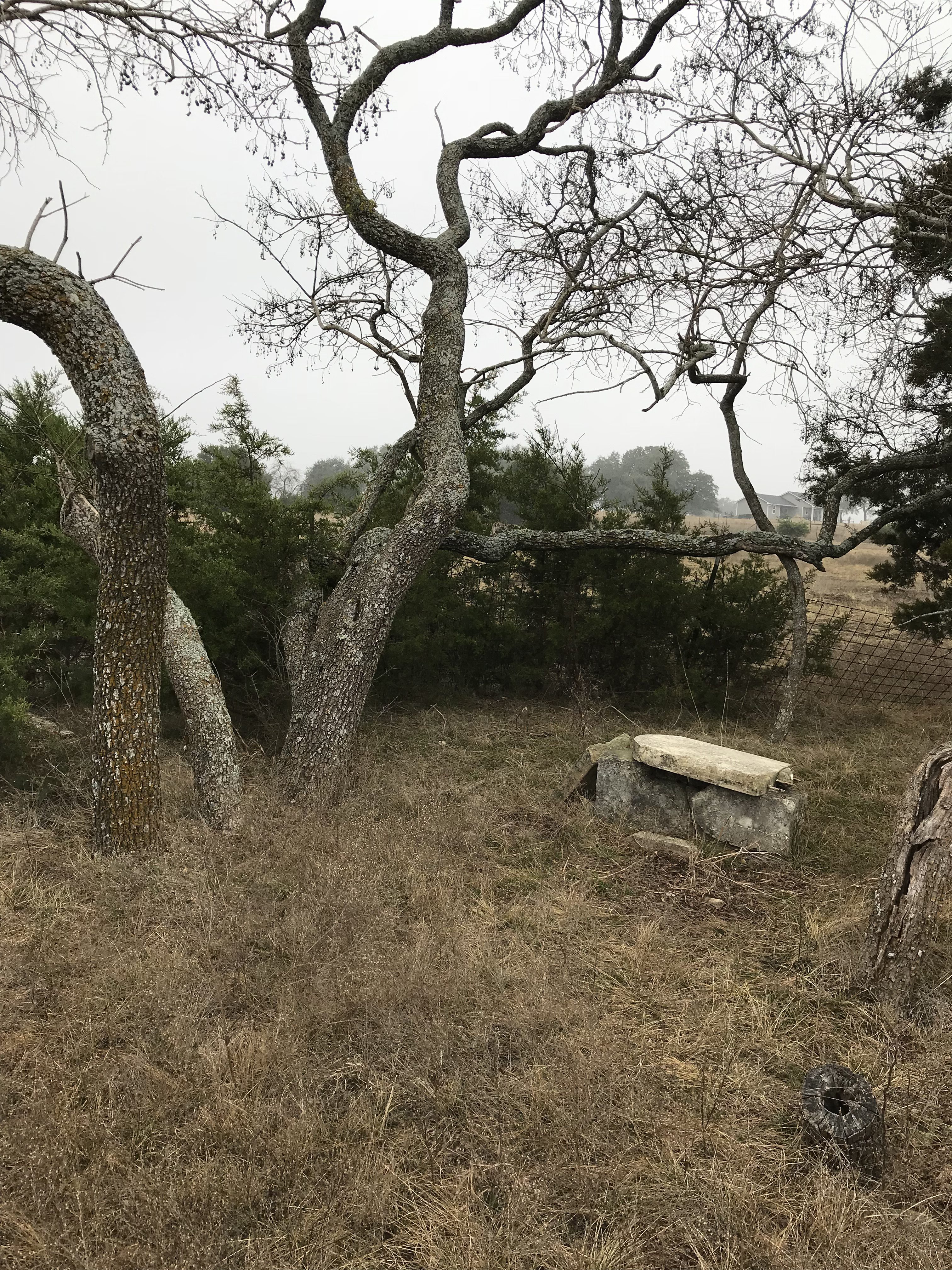
Mauldin subdividing construction looking into gravesite fenced in area, you can see the house in the distance Photo Courtesy Nancy Bell January 2018
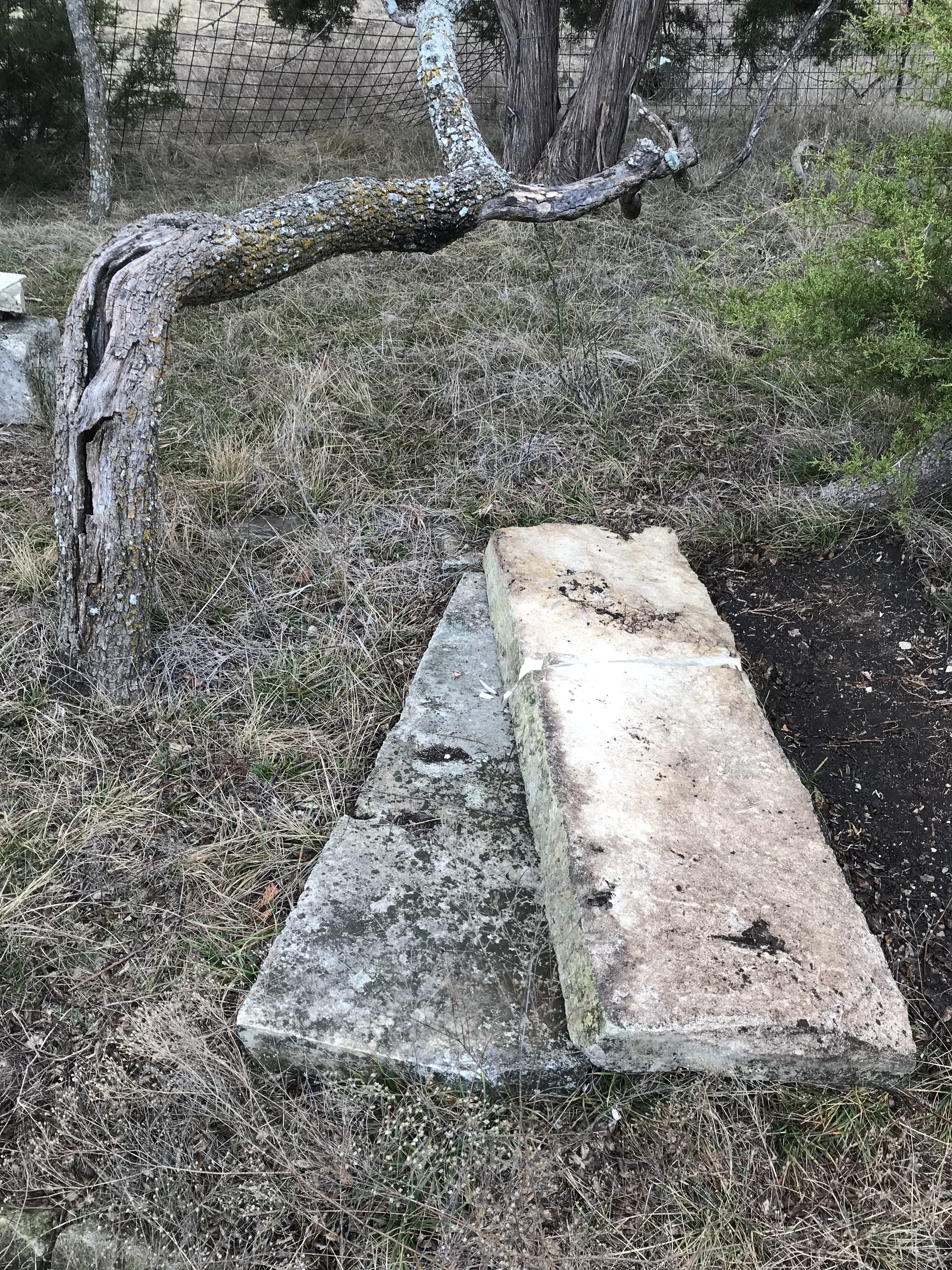
Mauldin subdividing construction looking at limestone slabs in gravesite fenced in area Photo Courtesy Nancy Bell January 2018
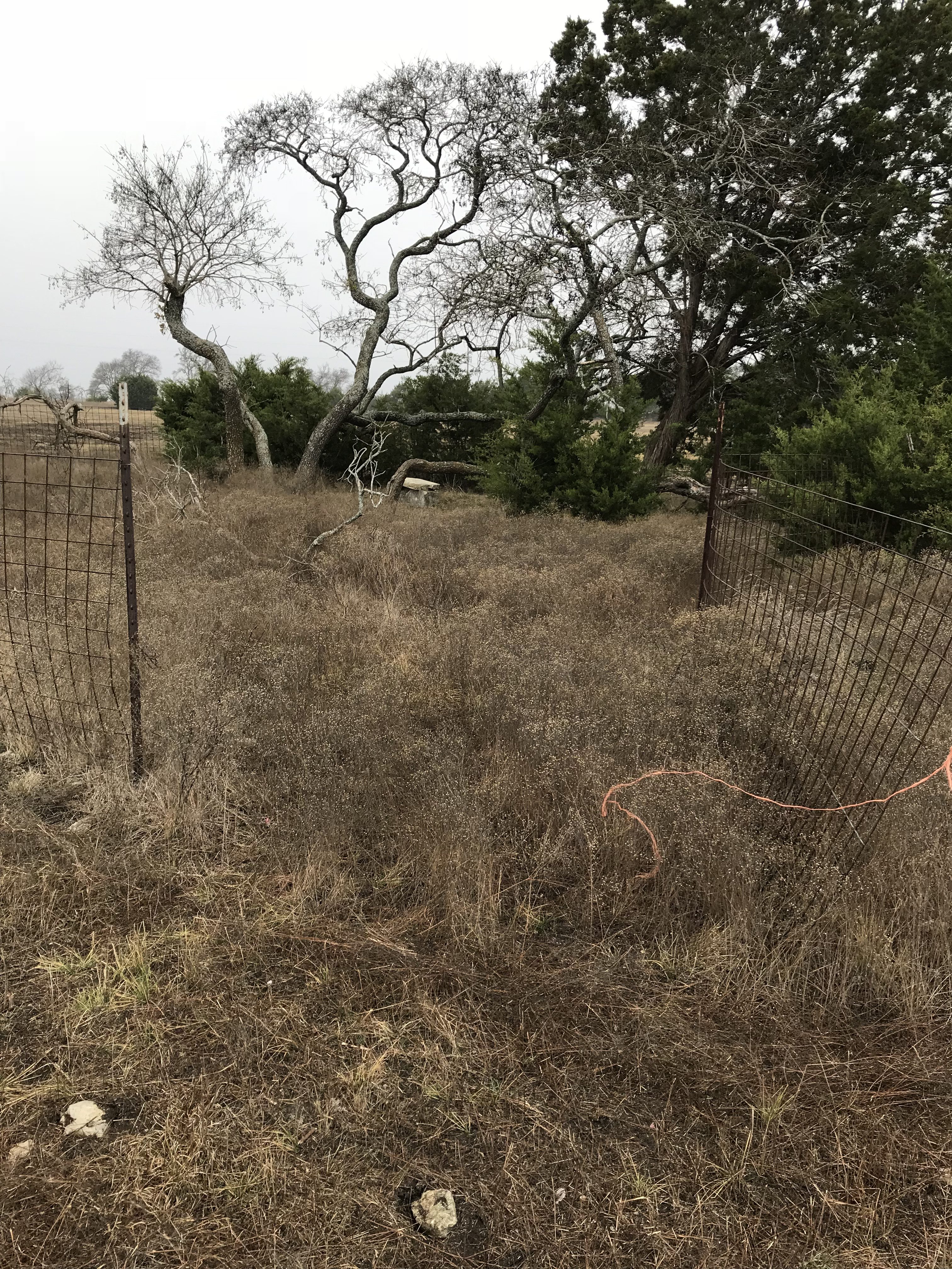
Mauldin subdividing construction looking into gravesite fenced in area Photo Courtesy Nancy Bell January 2018
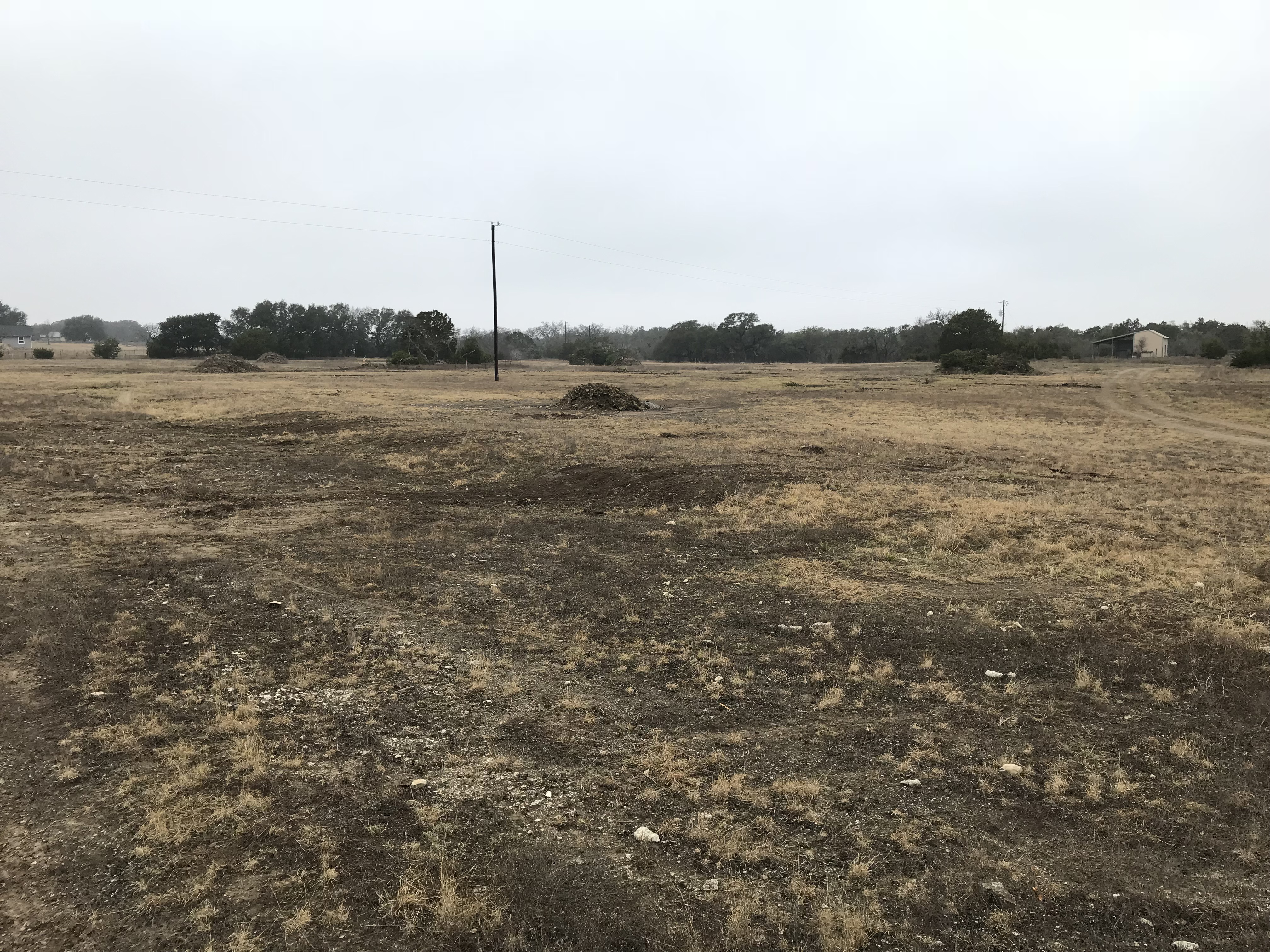
Mauldin subdividing construction work looking from gravesite to small shed Photo Courtesy Nancy Bell January 2018
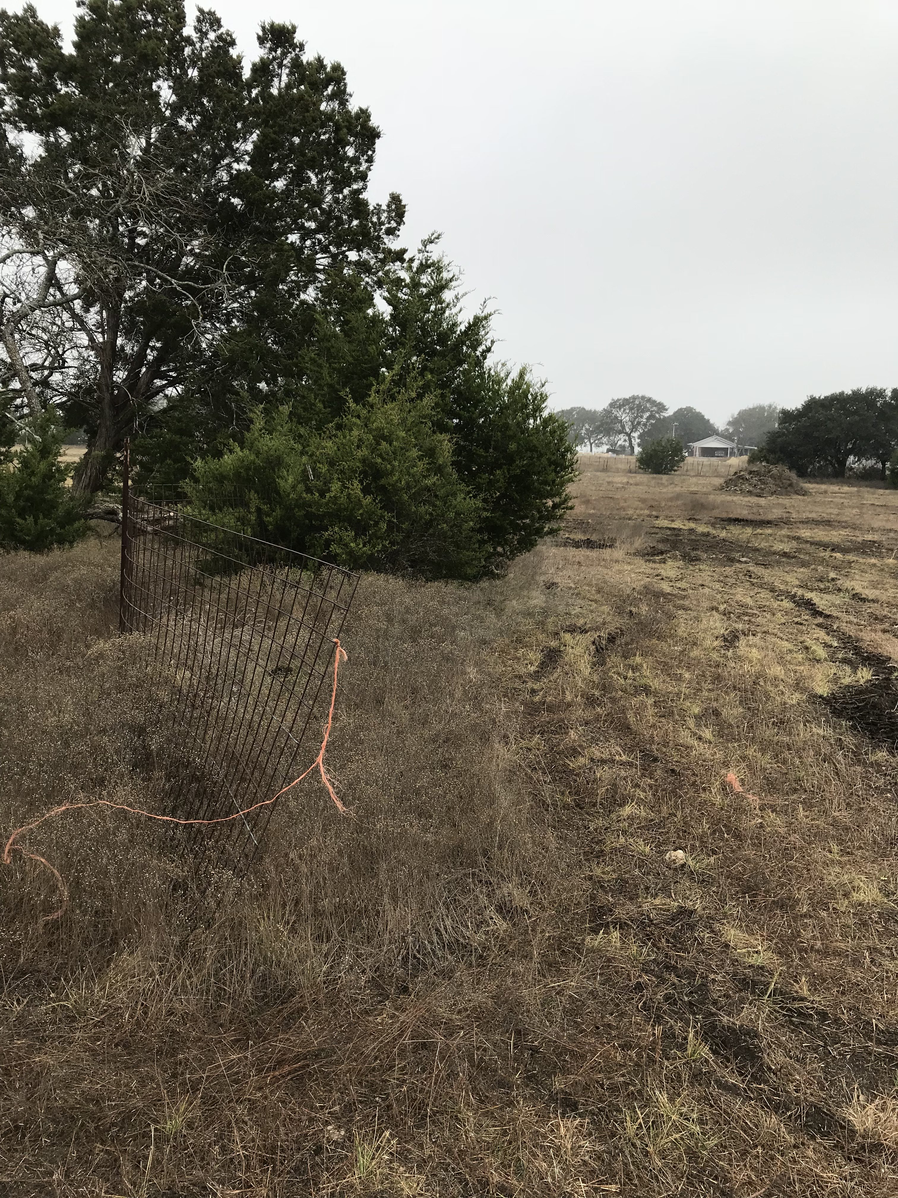
Mauldin subdividing construction work looking from gravesite to the neighbor’s house Photo Courtesy Nancy Bell January 2018
Notes:
Nancy Bell lived on this property & fenced the Mauldin cemetery in 1998-2000. 370 CR 204 on 64.0143-acre tract.
Location is Approximate (1999 Map Information): yes (1999 mapped B2) OK 9/22
Latitude: 30.75356400
Longitude: -97.94844400
386