Kenney's Fort
Kenney’s Fort
Texas Historical Marker: no
- Primary Town: Round Rock
- Secondary Town(s): none
- Cemetery Relocated to: no relocation
Historic Texas Cemetery Designation: no
- Williamson County Clerk Instrument Number: unknown
- Williamson Central Appraisal District Property ID: unknown

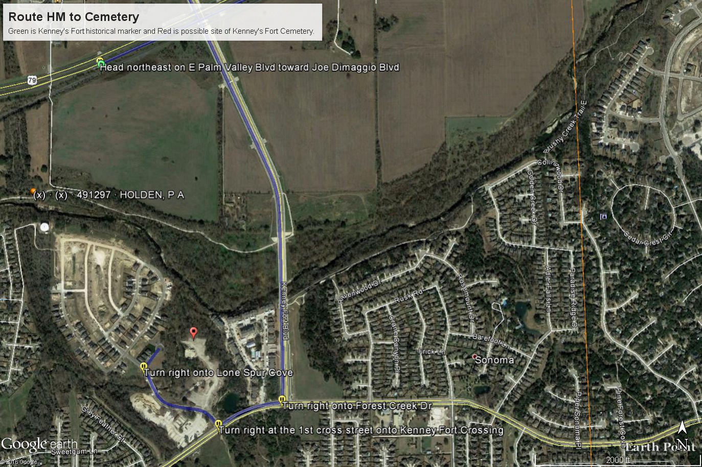
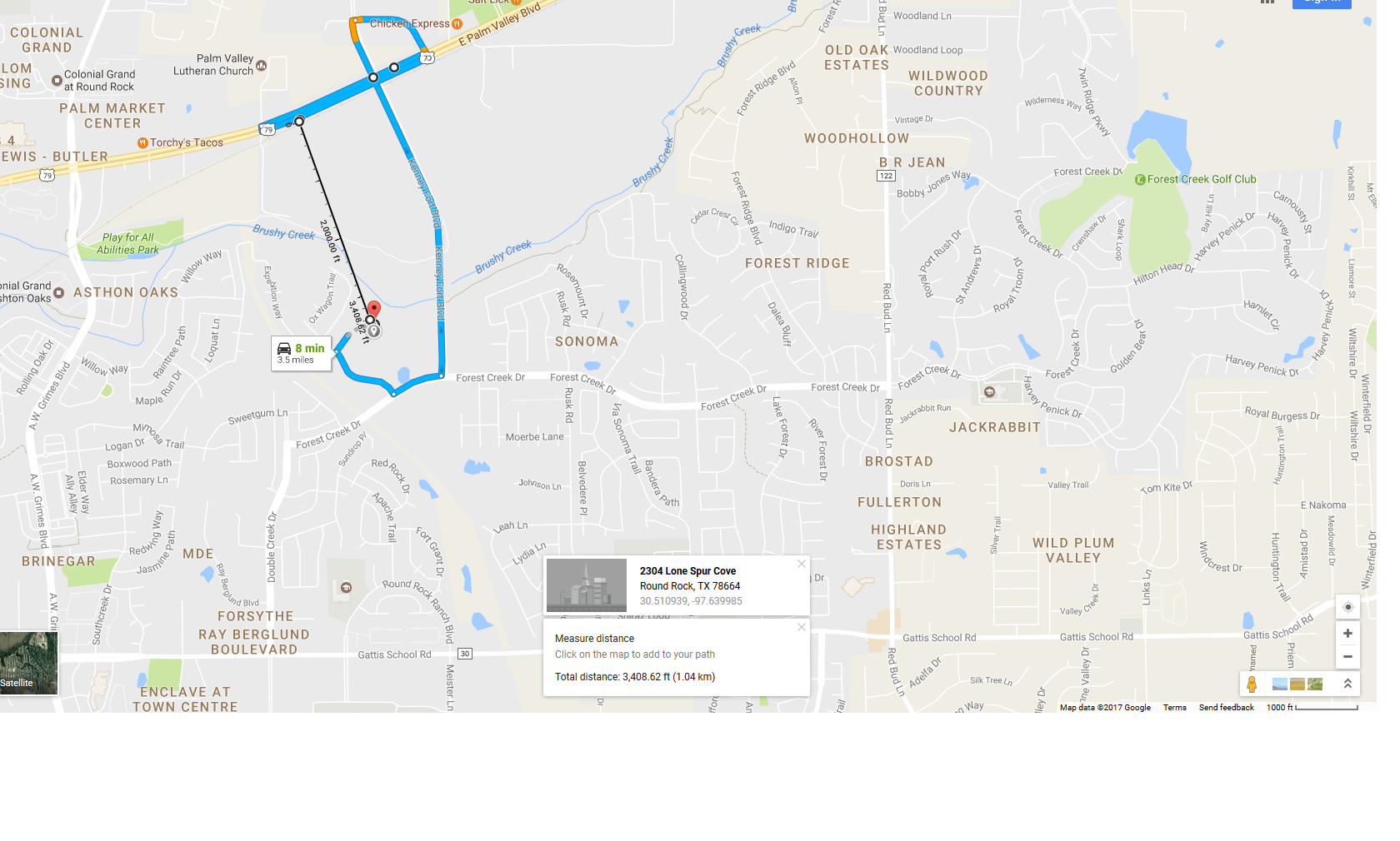
Kenney Fort & Cemetery possible location in relation to Kenney Fort Historical Marker located on Hwy 79 (May 2017)

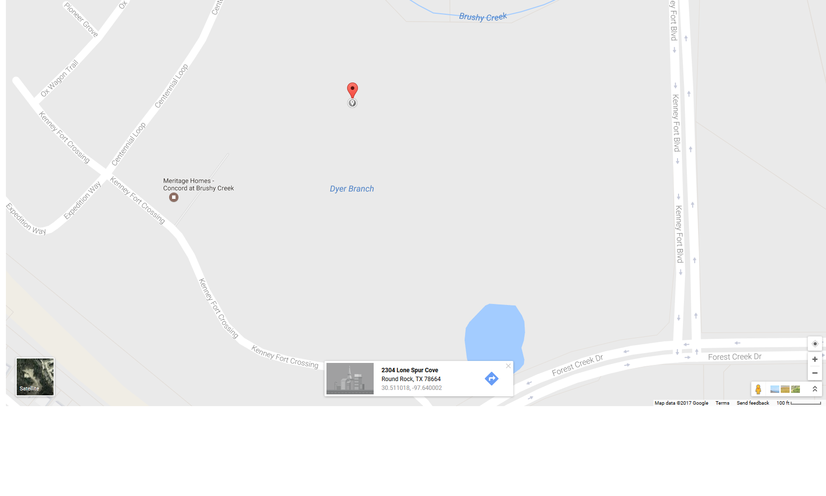
Red pin is Kenney Fort Historical Marker location on Hwy 79 (May 2017)

Red pin is Kenney Fort & Cemetery possible location in relation to Kenney Fort Historical Marker located on Hwy 79 (May 2017)

Kenney Fort & Cemetery possible location in relation to Kenney Fort Historical Marker located on Hwy 79 (May 2017)
Click here to read a paragraph about Kenney Fort in City of Round Rock, Texas’ As Events Have Transpired at the Intersection of The Chisholm Trail and Brushy Creek, July 1965 (Source: www.roundrocktexas.gov)
Notes:
S Hwy 79, E FM 1460 (A.W. Grimes Blvd), S Brushy Creek, W Kenney Fort Blvd NOTE: Due to development in area–cemetery may not be evident/found. Coordinates listed below are estimates.
Location is Approximate (1999 Map Information): yes (1999 mapped F5) OK 9/22
Latitude: 30.51100000
Longitude: -97.64000000
396