Ganzert
Ganzert
Texas Historical Marker: no
- Primary Town: Round Rock
- Secondary Town(s): none
- Cemetery Relocated to: no relocation
Historic Texas Cemetery Designation: no
- Williamson County Clerk Instrument Number: unknown
- Williamson Central Appraisal District Property ID: R055903
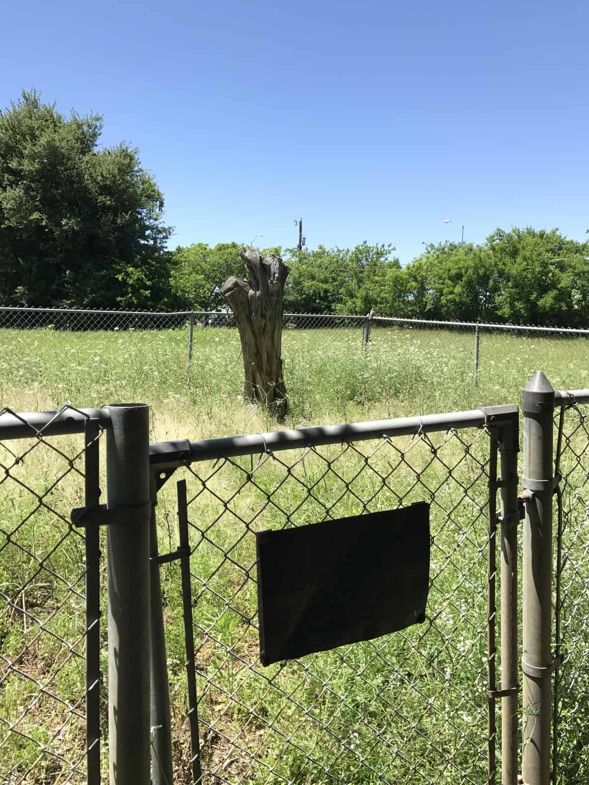
Ganzert Photo Courtesy Nancy Bell April 2017
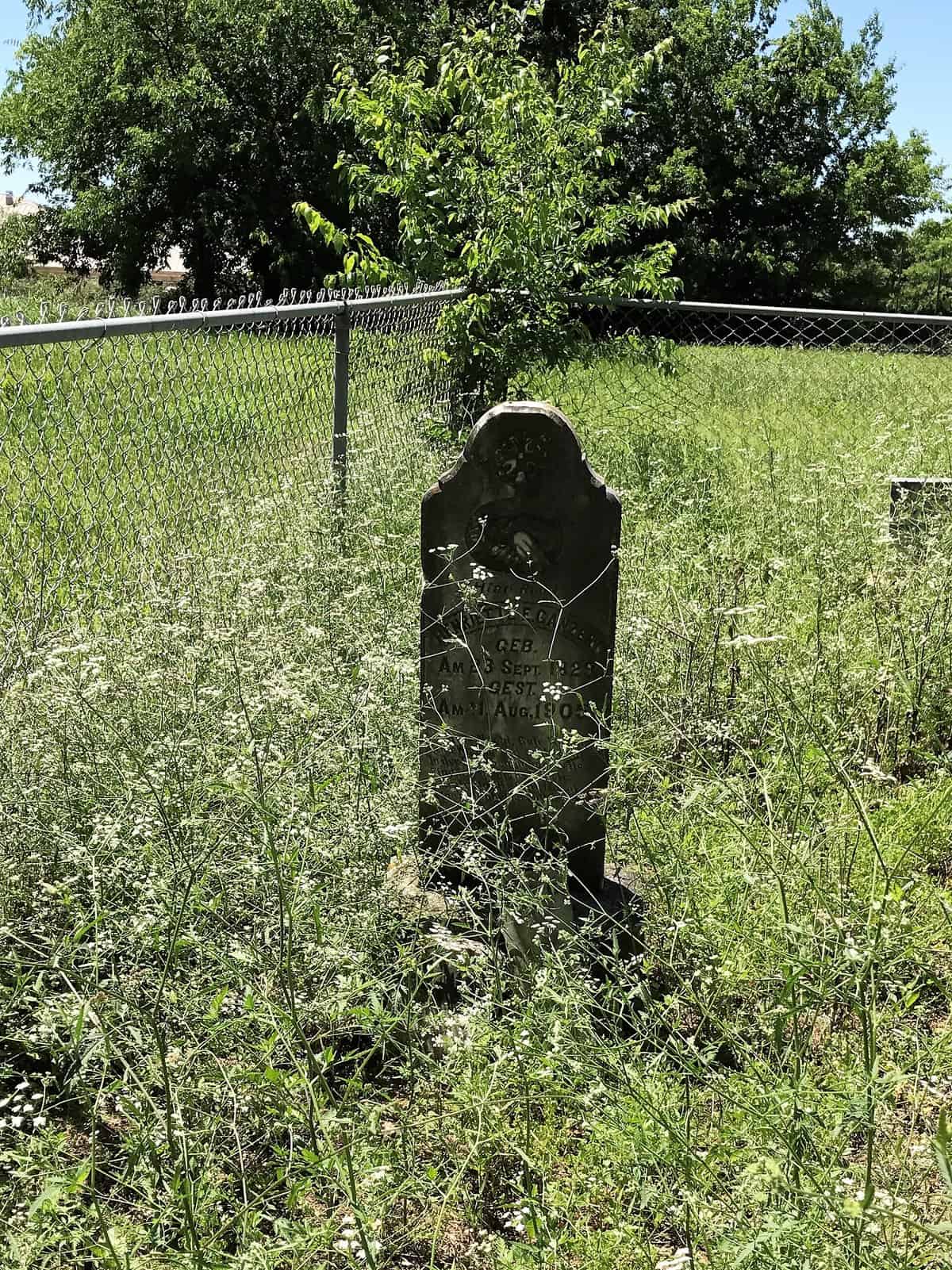
Ganzert Photo Courtesy Nancy Bell April 2017
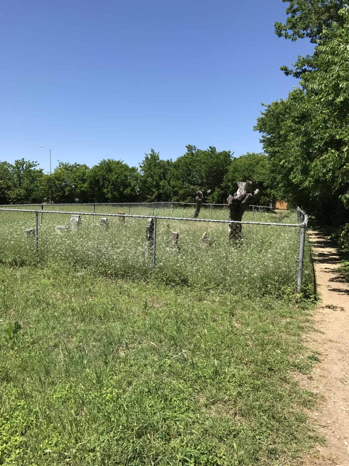
Ganzert Photo Courtesy Nancy Bell April 2017
The pictures below show the route to get to the cemetery. Standing at the southeast corner of Thompson Trail & South A.W. Grimes Blvd, proceed south on A.W. Grimes Blvd.
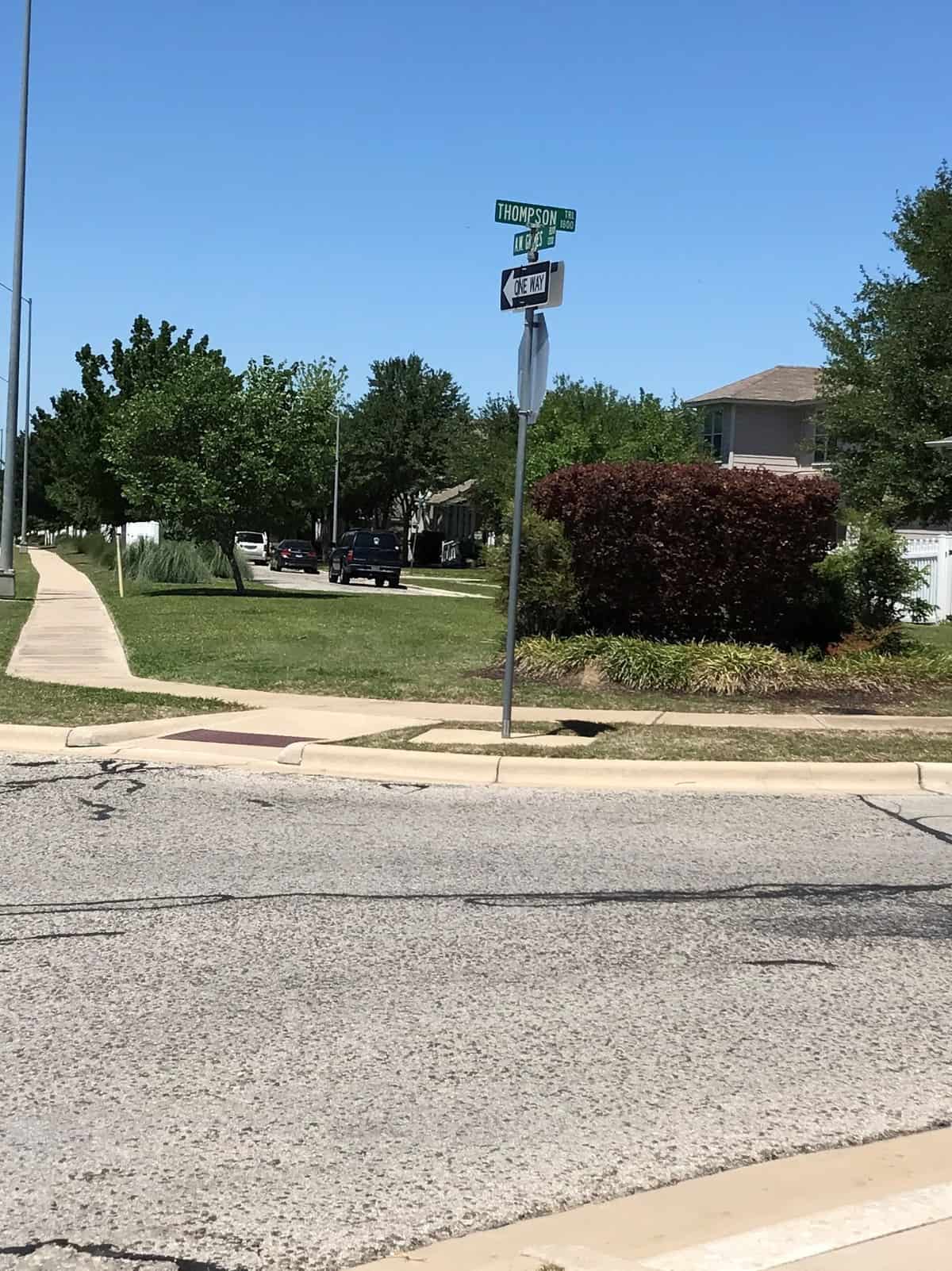
Ganzert standing at southeast corner of Thompson Trail and S. A.W. Grimes Blvd Photo Courtesy Nancy Bell April 2017
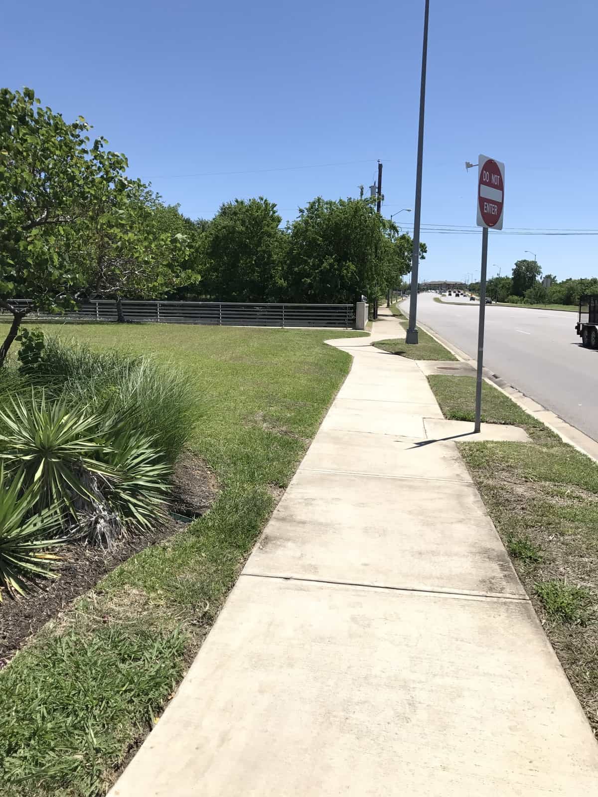
Ganzert walk south on A.W. Grimes Blvd Photo Courtesy Nancy Bell April 2017
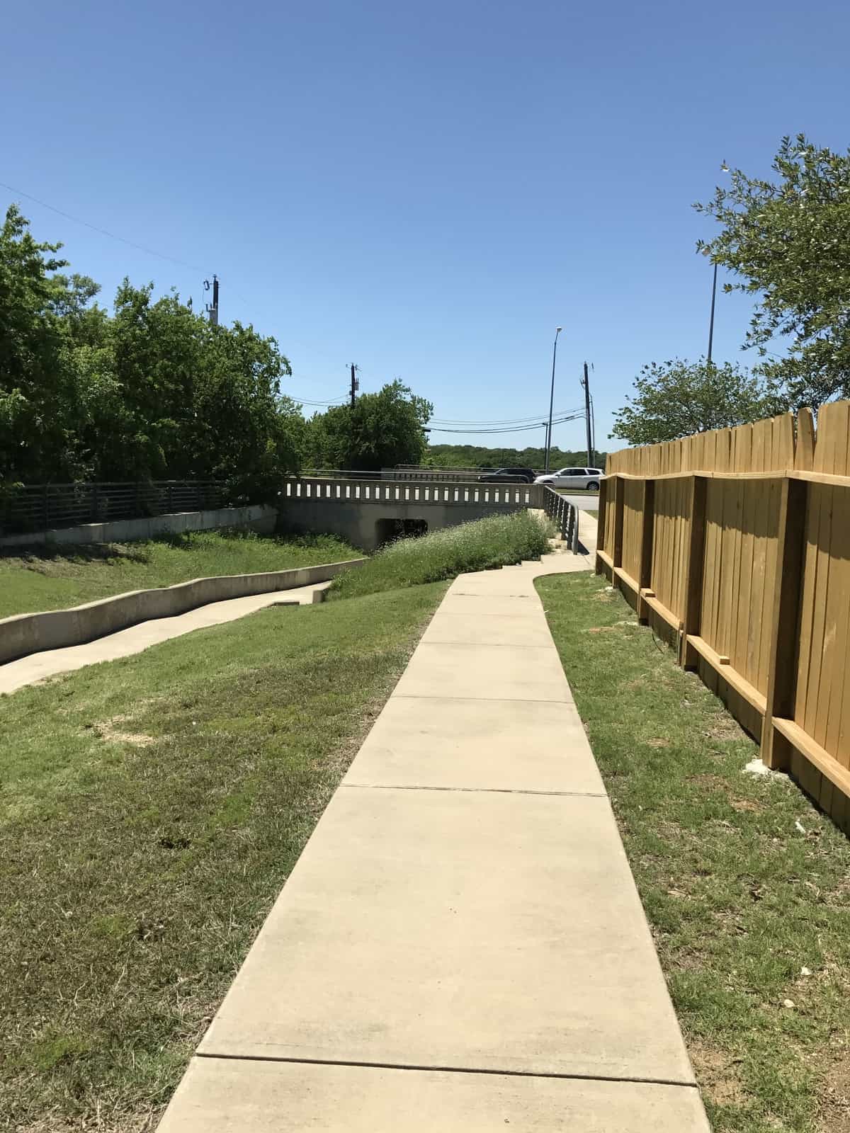
Ganzert turn left to follow residential fencing Photo Courtesy Nancy Bell April 2017
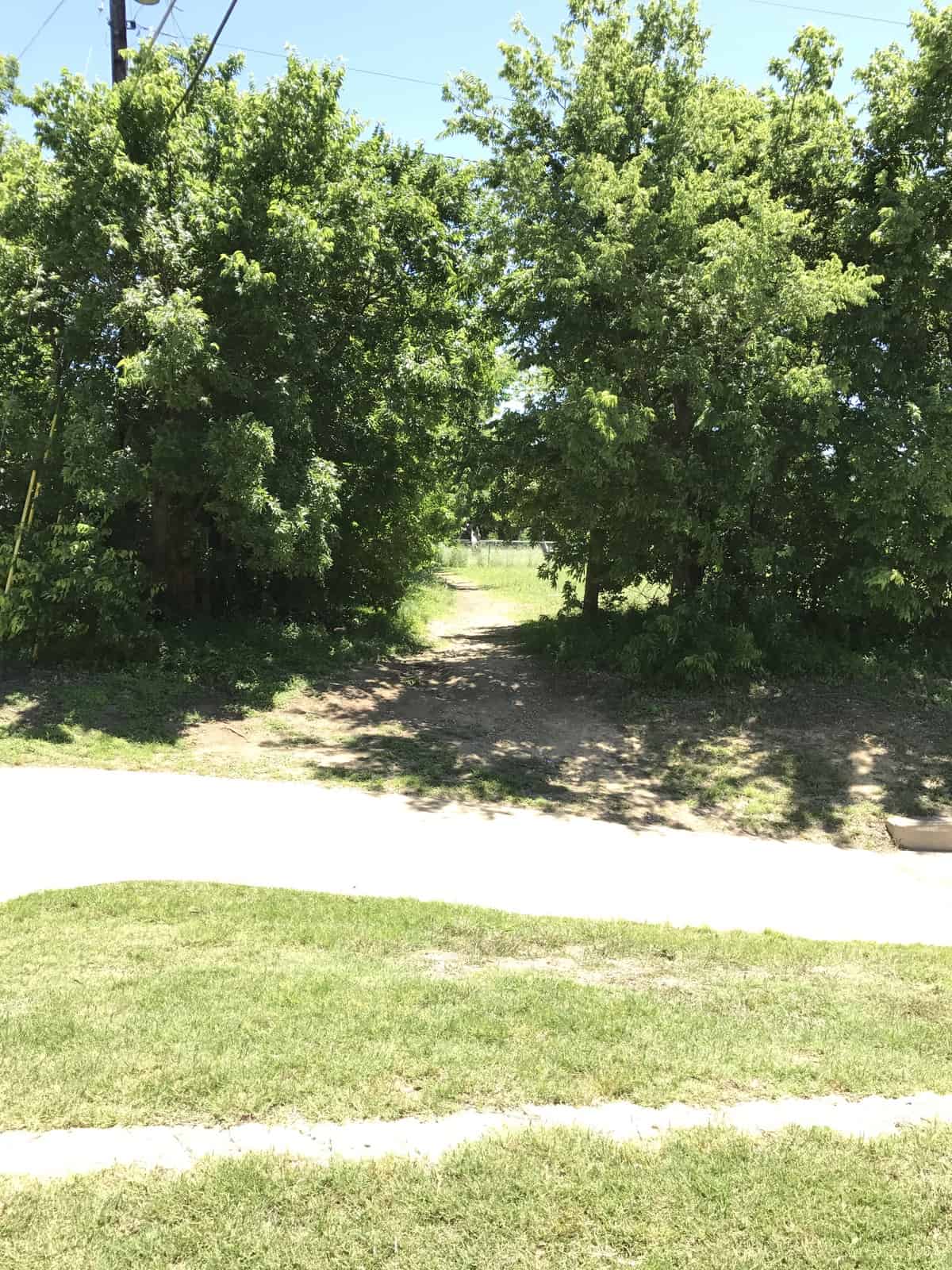
Ganzert cross culvert when you see a dirt trail between the trees Photo Courtesy Nancy Bell April 2017
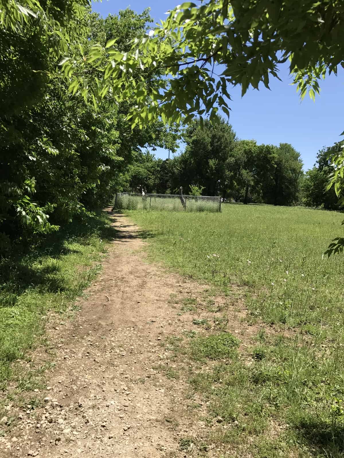
Ganzert walk dirt trail to cemetery Photo Courtesy Nancy Bell April 2017
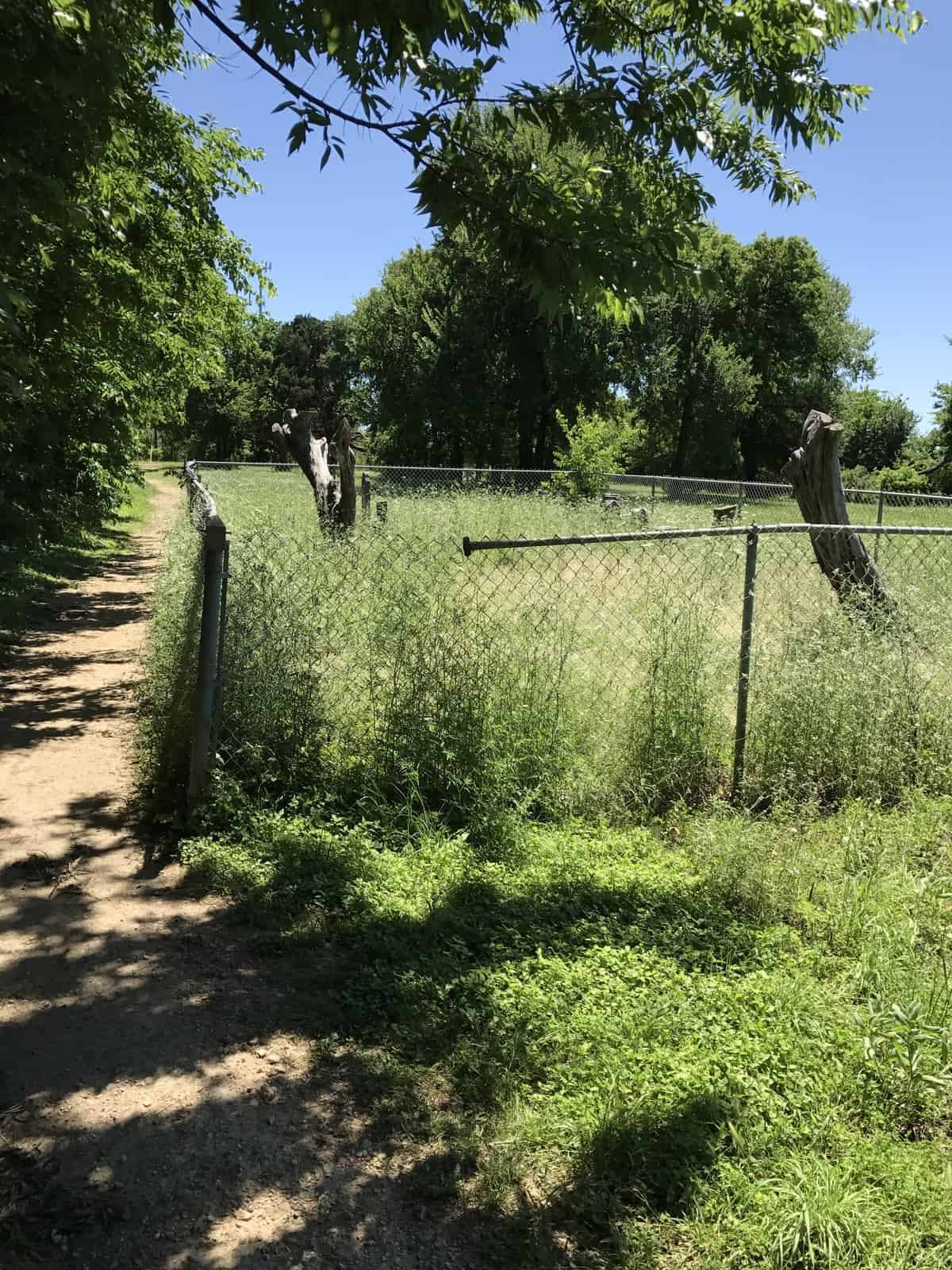
Ganzert Photo Courtesy Nancy Bell April 2017
Notes:
WCAD & GOOGLE map & 4/23/2017 drive-by: 1251 S AW Grimes Blvd, Round Rock.
WCHC’s Vol I, pg 102: [1975 directions outdated.] Located on the E side of S AW Grimes Blvd just before Thompson Trail & can be seen from the road, but there is no parking along this road. To get to the cemetery: Park on Thompson Trail, walk S to sidewalk on left after the first house. The sidewalk is along the back of the houses and you will see a dirt path on the right within 30 feet or so. The fenced-in cemetery is on the dirt path. Property is listed as commercial vacant land (1.5 acres) and is privately owned. The first street behind Kenningham Park, Redwing Way/ Oleander is another way to reach the cemetery.
Location is Approximate (1999 Map Information): (1999 mapped F5) Verified 9/21
Longitude: -97.65610000
Latitude: 30.50070000
363