Donahue
aka Donaho, Donahoe
Donahue
Texas Historical Marker: no
- Primary Town: Schwertner
- Secondary Town(s): Bartlett
- Cemetery Relocated to: no relocation
Historic Texas Cemetery Designation: no
- Williamson County Clerk Instrument Number: unknown
- Williamson Central Appraisal District Property ID: R008341
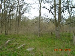
Donahue BEFORE Tombstone Repairs Photo Courtesy Donald Stephens March 3, 2018
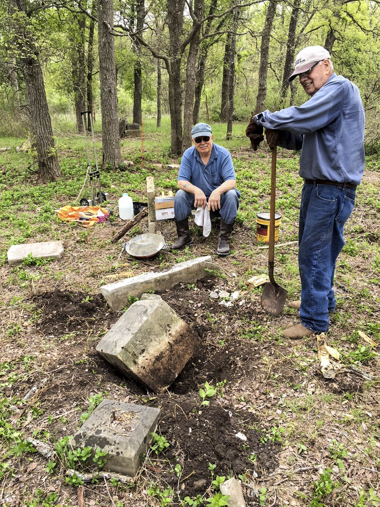
Donahue Tombstone Repairs Wayne Ware and John Christeson Photo Courtesy Wayne Ware March 3, 2018
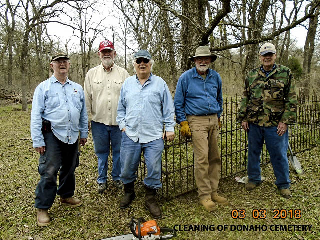
Donahue Cleaning Crew Don Stephens, Tom Rogers, Wayne Ware, Jerry Cutts, & John Christeson Photo Courtesy Wayne Ware March 3, 2018
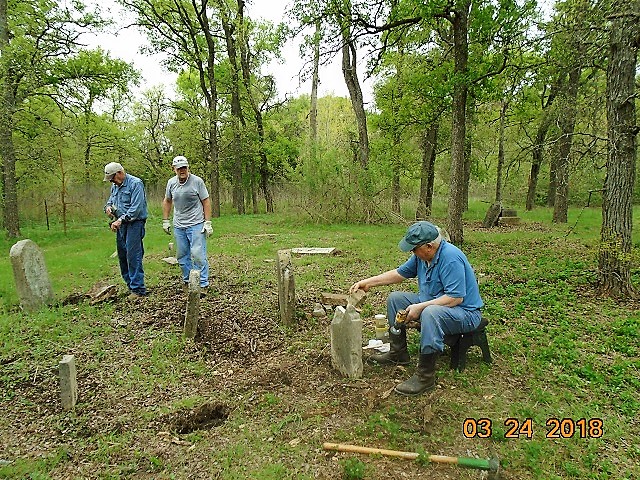
Tombstone repairs Wayne Ware, Joe Plunkett & John Christesen Photo Courtesy Wayne Ware March 22, 2018
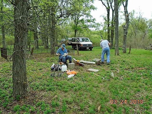
Tombstone repairs Wayne Ware & John Christesen Photo Courtesy Wayne Ware March 22, 2018
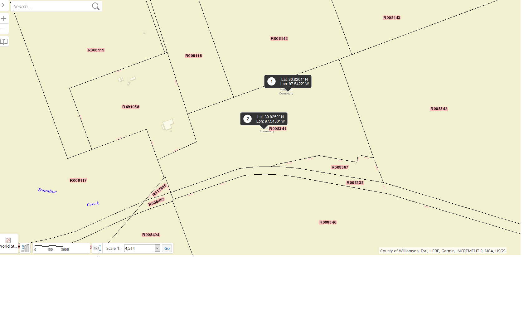
<>Anderson (aka Harrison) AND Donahue WCAD R008341 Map with Coordinates
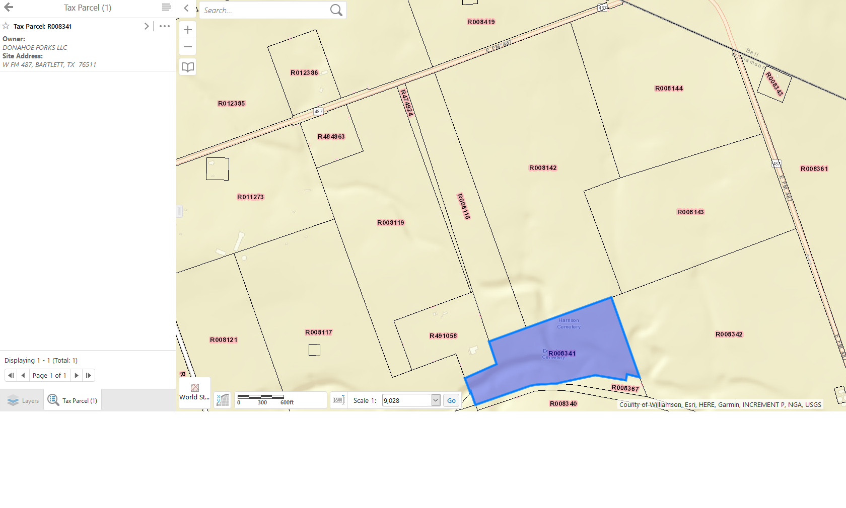
Anderson (aka Harrison) AND Donahue WCAD R008341 Map
Notes:
2019 WCAD 4200 FM 487 across from Eugene Schwertner Farms ‘Coffield’ gate.
WCHC’s Vol II, pg 35 Per Fred & Roxie White..”located on land originally owned by Judge E. M. White, great-grandfather of Mr. Fred White, Jr., who, with his wife, Roxie, made this canvass. Mr. White declares this to be a true & exact list of names of those persons buried in this cemetery. This cemetery is on FM 487, 4 miles E of Jarrell or 8 miles W of Bartlett, on farm of Mrs. Dorothy Helms.” Cemetery is approximately 1/2 mile S of FM 487, located in a pasture, inaccessible by car due to brush & [North Fork Donahue] creek.
Per John Christeson notes on Find-A-Grave…”This cemetery is on FM 487 located on a farm on the S side of the road 1.1 miles E of the junction with CR 303. Directly across from the driveway is an iron fence with a sign that reads “Eugene Schwertner Farm Coffield” …If you have high clearance on your vehicle you can open the gate & follow the road to the ford at the river. Cross the ford & go W to the field. Follow the field S to its end & then cross the fence & go E until you spot gravestones. The cemetery is not enclosed by a fence & is abandoned, with gravestones sticking up through the grass & with one iron fenced in enclosure with one gravestone inscribed on three sides. I used this gravesite to establish the GPS coordinates of the cemetery. Contact Dave Helms (son of the owner) at 1 940 206 4114 fro [sic] permission to visit this cemetery.”
In 2018, the “Cemetery Restoration Volunteers” added this cemetery to their list of abandoned cemeteries they maintain on a rotation basis of 19 cemeteries in Williamson County. The volunteers are under the direction of WCHC’s Cemetery Committee Chair, Joe Plunkett. In 2019, there are 9 volunteers, using their own equipment. Donations received by WCHC are helping to defray costs of restoring tombstones.
Location is Approximate (1999 Map Information): (1999 mapped F1) OK 9/20
Latitude: 30.82503000
Longitude: -97.54287000
470