Denson
aka Denison
Denson
Texas Historical Marker: no
- Primary Town: Granger
- Secondary Town(s): Keelersville, Bartlett
- Cemetery Relocated to: no relocation
Historic Texas Cemetery Designation: Yes (11/8/2022)
- Williamson County Clerk Instrument Number: unknown
- Williamson Central Appraisal District Property ID: R014067

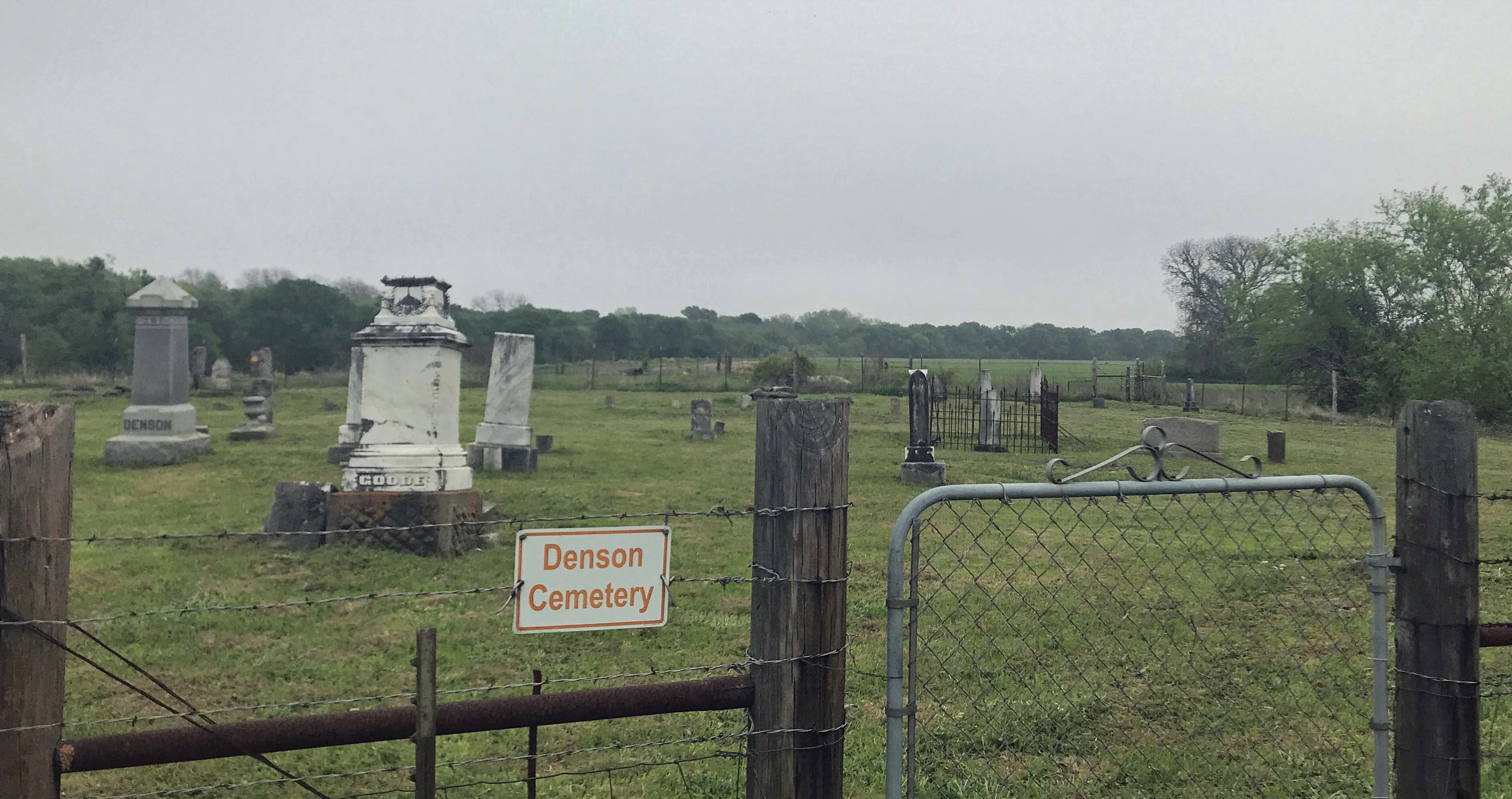
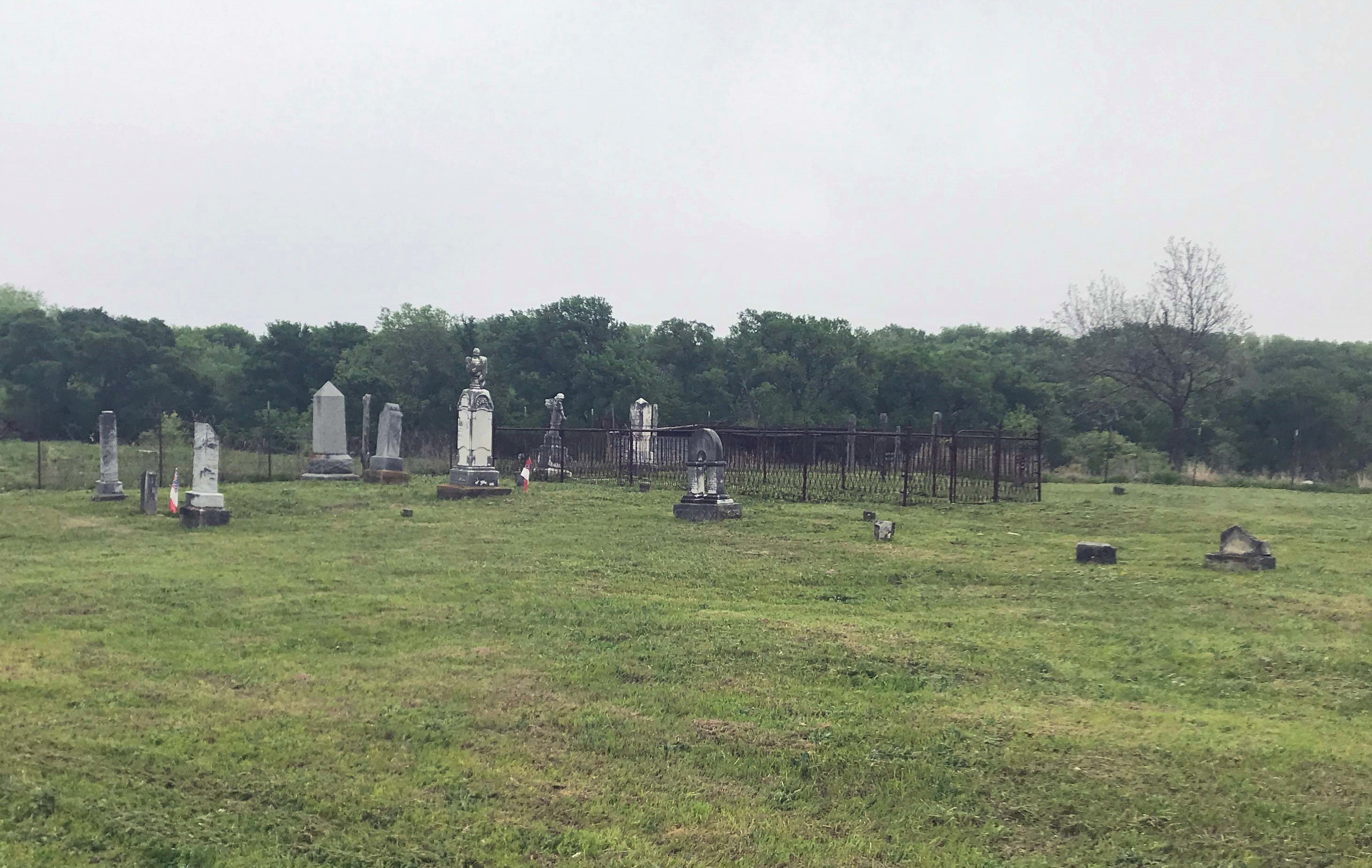
Denson Photo Courtesy Wayne Ware April 2019

Denson Photo Courtesy Wayne Ware April 2019

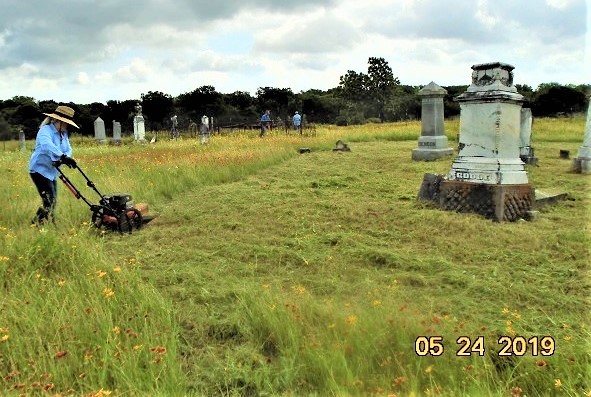
Denson Cemetery Restoration Volunteers Working Photo Courtesy Wayne Ware May 2019
Notes:
Mapped per THC coordinates.
2016 WCAD 1900 CR 324, Granger.
WCHC’s Vol I, pgs 95-97: Per Mary Ellen & H.E. “Dick” Lindsey 1972…”Located on the Alfonse Stojanik farm, Rt 1, Bartlett, TX. To reach the farm, go N of Granger on SH 95 approximately three miles; turn left on FM 972; approximately three miles cross a concrete bridge (to the left of this bridge are the remains of an old steel bridge); about 1/4 mile past the bridge take the first turn to left & go about 1/4 mile on gravel road; take the first left turn at the first house on the left (the house has a roof that is 1/2 green and 1/2 blue) – to first house on that lane to the home of Alfonse Stojonik.”
1904 CR 324 & 1910 CR 324. The cemetery road is between these two mail boxes. This cemetery is not maintained. There is a strange bridge to cross over on.
In 2018, this cemetery is maintained by the “Cemetery Restoration Volunteers” as one of the abandoned cemeteries maintained on a rotation basis of 19 cemeteries in Williamson County. The volunteers are under the direction of WCHC’s Cemetery Committee Chair, Joe Plunkett. In 2019, there are 9 volunteers, using their own equipment. Donations received by WCHC help to defray costs of restoring tombstones.
Location is Approximate (1999 Map Information): (1999 mapped G2) Verified 9/20
Latitude: 30.75173802
Longitude: -97.50017574
374