Chapman
Chapman
Texas Historical Marker: no
- Primary Town: Round Rock
- Secondary Town(s): McNeil
- Cemetery Relocated to: no relocation
Historic Texas Cemetery Designation: no
- Williamson County Clerk Instrument Number: unknown
- Williamson Central Appraisal District Property ID: R109408 – guess – not verified – no response from property owner

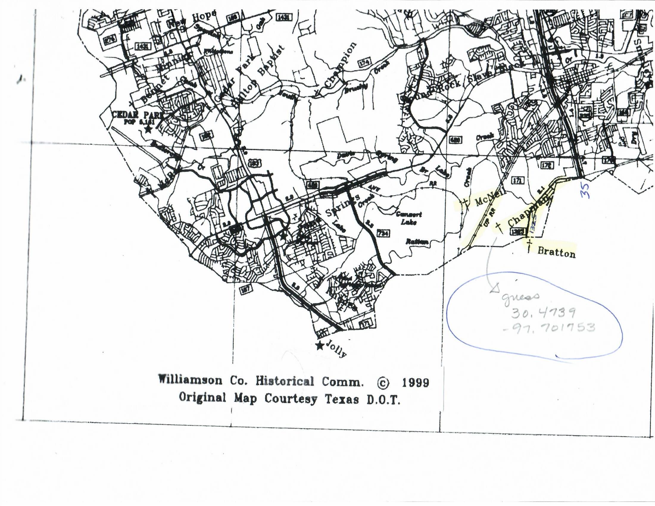
Chapman Cemetery on 1999 WCHC Map

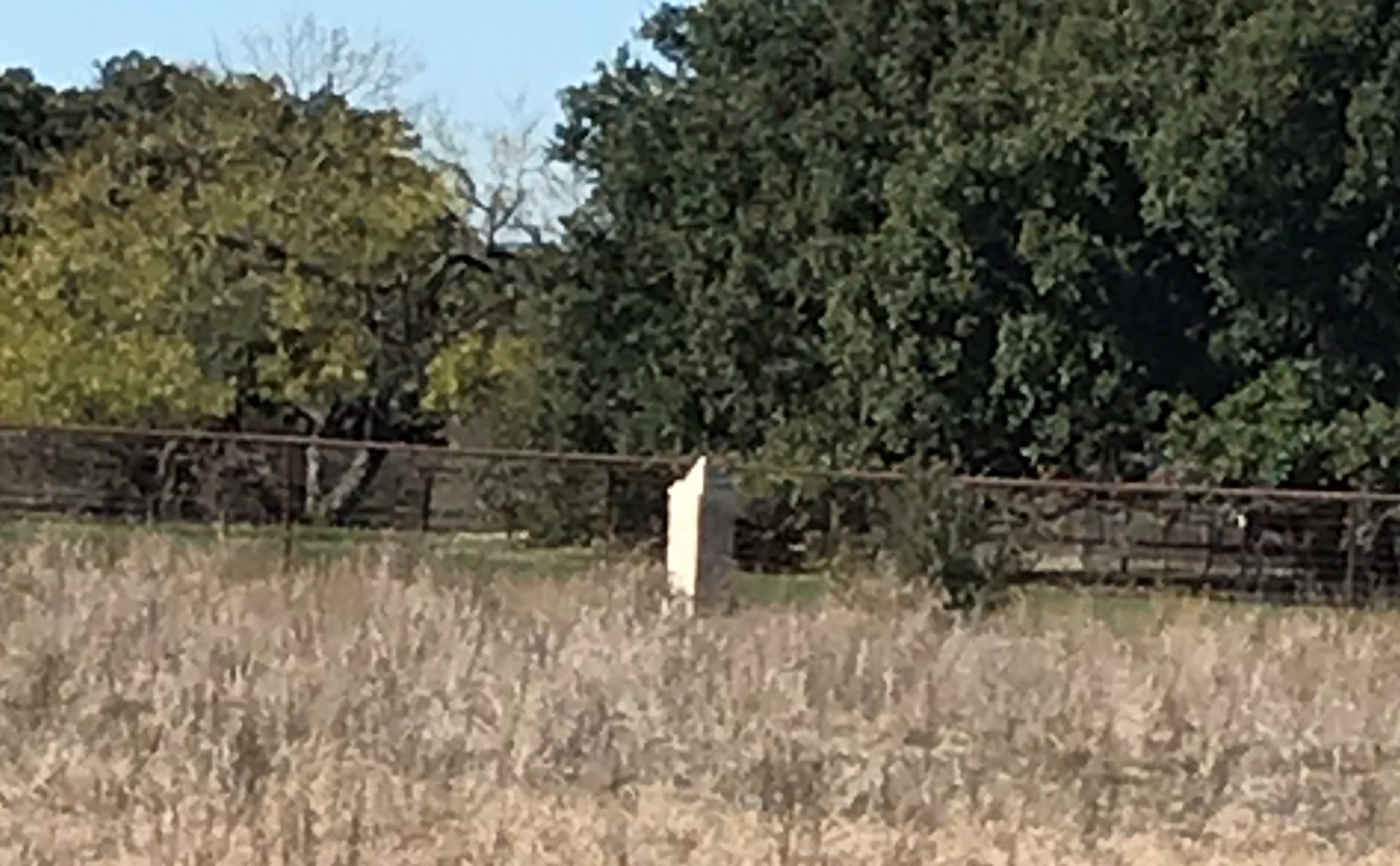
CM Chapman unknown if monument designates a cemetery Photo Courtesy Nancy Bell December 2019

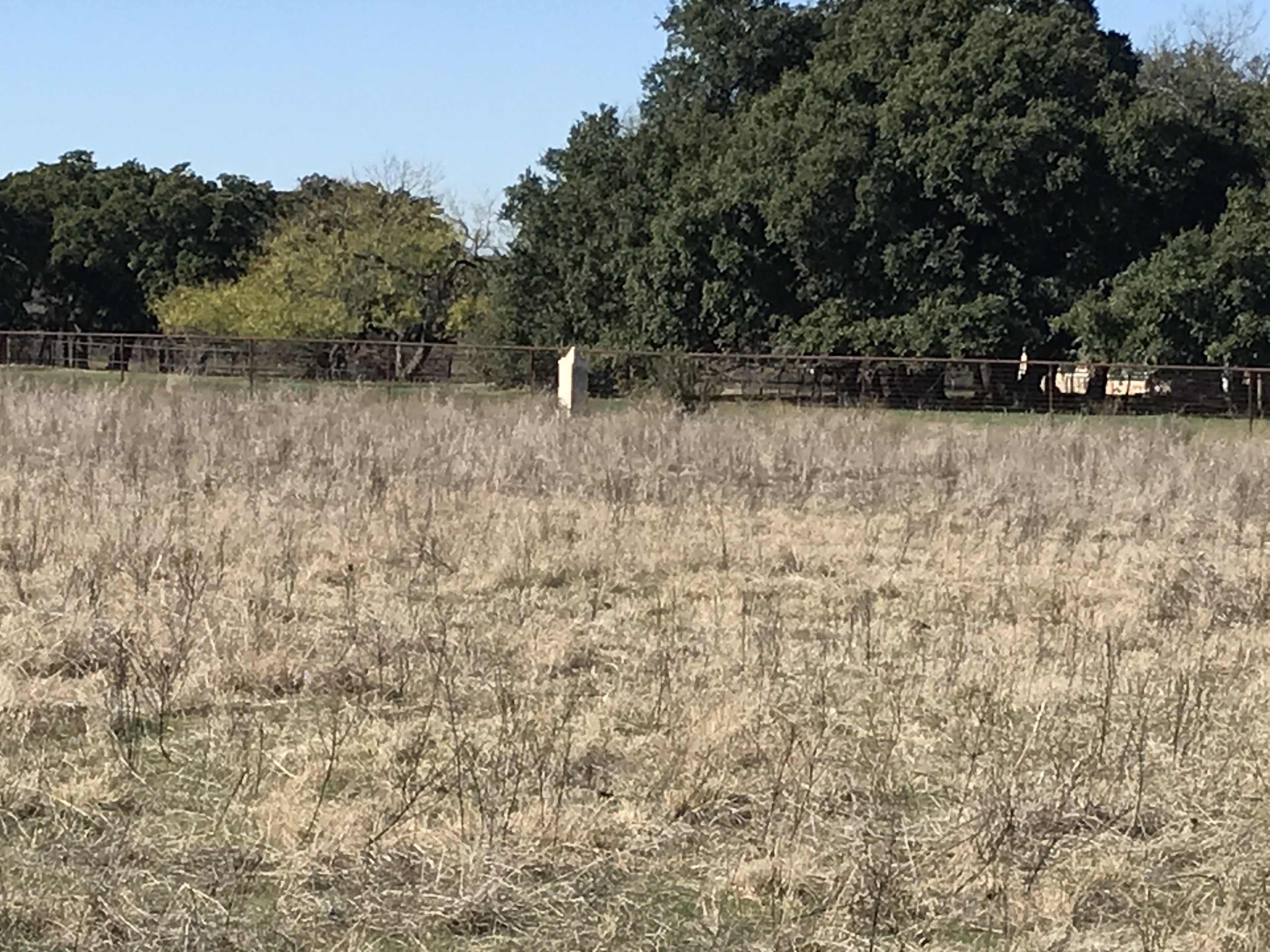
CM Chapman unknown if monument designates a cemetery Photo Courtesy Nancy Bell December 2019

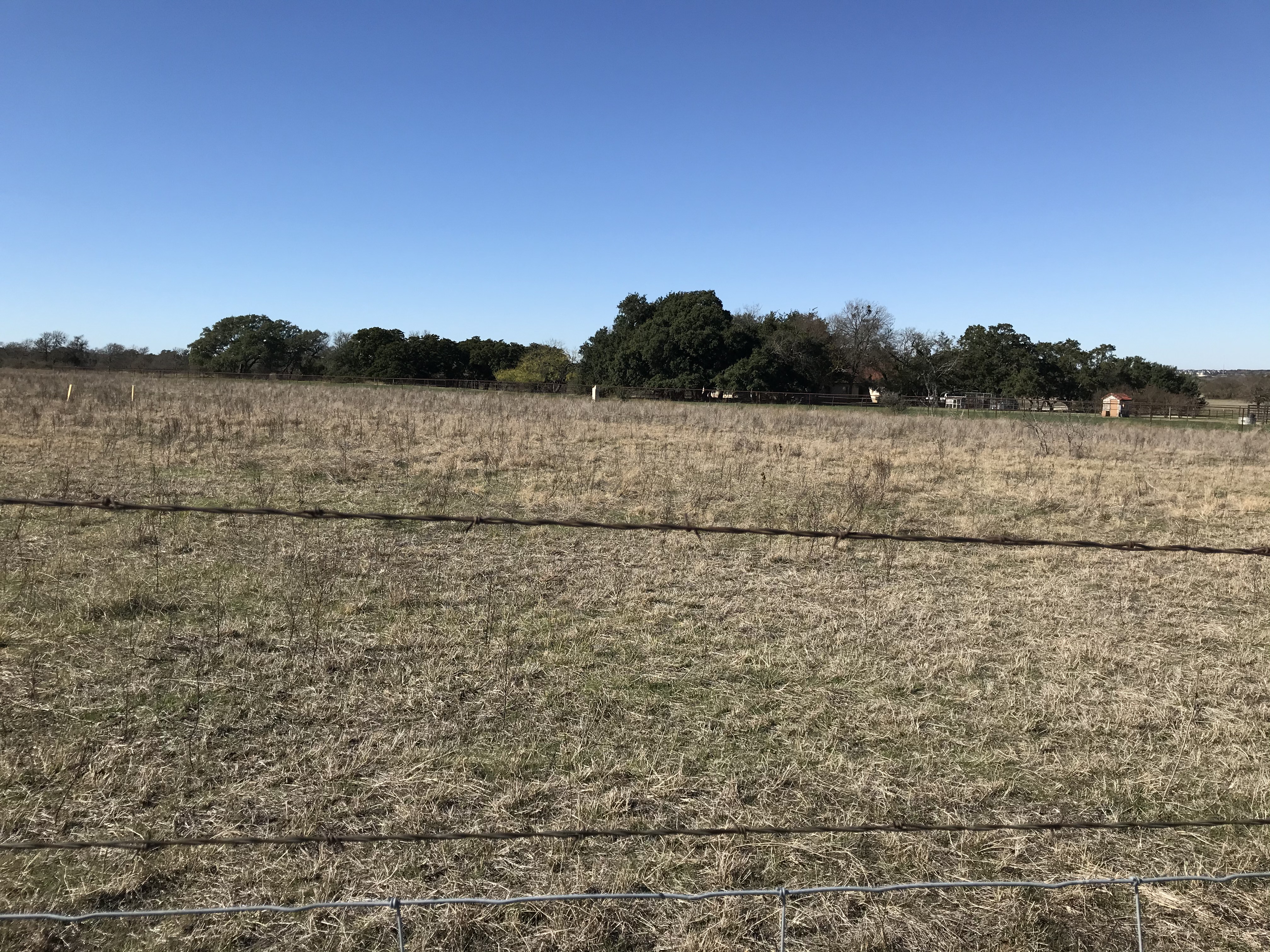
CM Chapman unknown if monument designates a cemetery Photo Courtesy Nancy Bell December 2019
Notes:
This cemetery is listed because it is on the “1999 Cemeteries & Historical Markers of Williamson County, Texas” map. The map shows the location as: between FM 1325 & CR 171 (McNeil Rd), E of railroad track. The cemetery could not be found in the 1999 WCHC notebooks even though it is on the map.
The cemetery’s existence could not be verified in 2019.
NOTE: In 2019, WCHC was notified of a monument sitting in a field off Loop 1 that was noticed as they sat in rush hour traffic. The property owner has not responded to requests to get more information. The location of the monument does correspond with WCHC’s 1999 map; therefore, the coordinates have been changed on this page using Google Earth to pinpoint where the monument sits until further research can be done to determine what the monument stands for (i.e. Chapman Cemetery or something else). Using binoculars, the monument doesn’t seem to have anything written on 2 sides of it.
Location is Approximate (1999 Map Information): yes (1999 mapped E6) NO
Longitude: -97.703888
Latitude: 30.471336
346