Bartlett
aka Old Bartlett, Bartlett-Old Black
Bartlett
Texas Historical Marker: no
- Primary Town: Bartlett
- Secondary Town(s): none
- Cemetery Relocated to: no relocation
Historic Texas Cemetery Designation: no
- Williamson County Clerk Instrument Number: unknown
- Williamson Central Appraisal District Property ID: R468706 & R330301

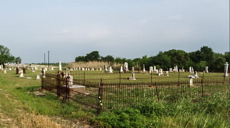
Bartlett Cemetery Photo Courtesy John Christeson

Old Bartlett Photo Courtesy John Christeson 2008

Old Black Photo Courtesy John Christeson 2008

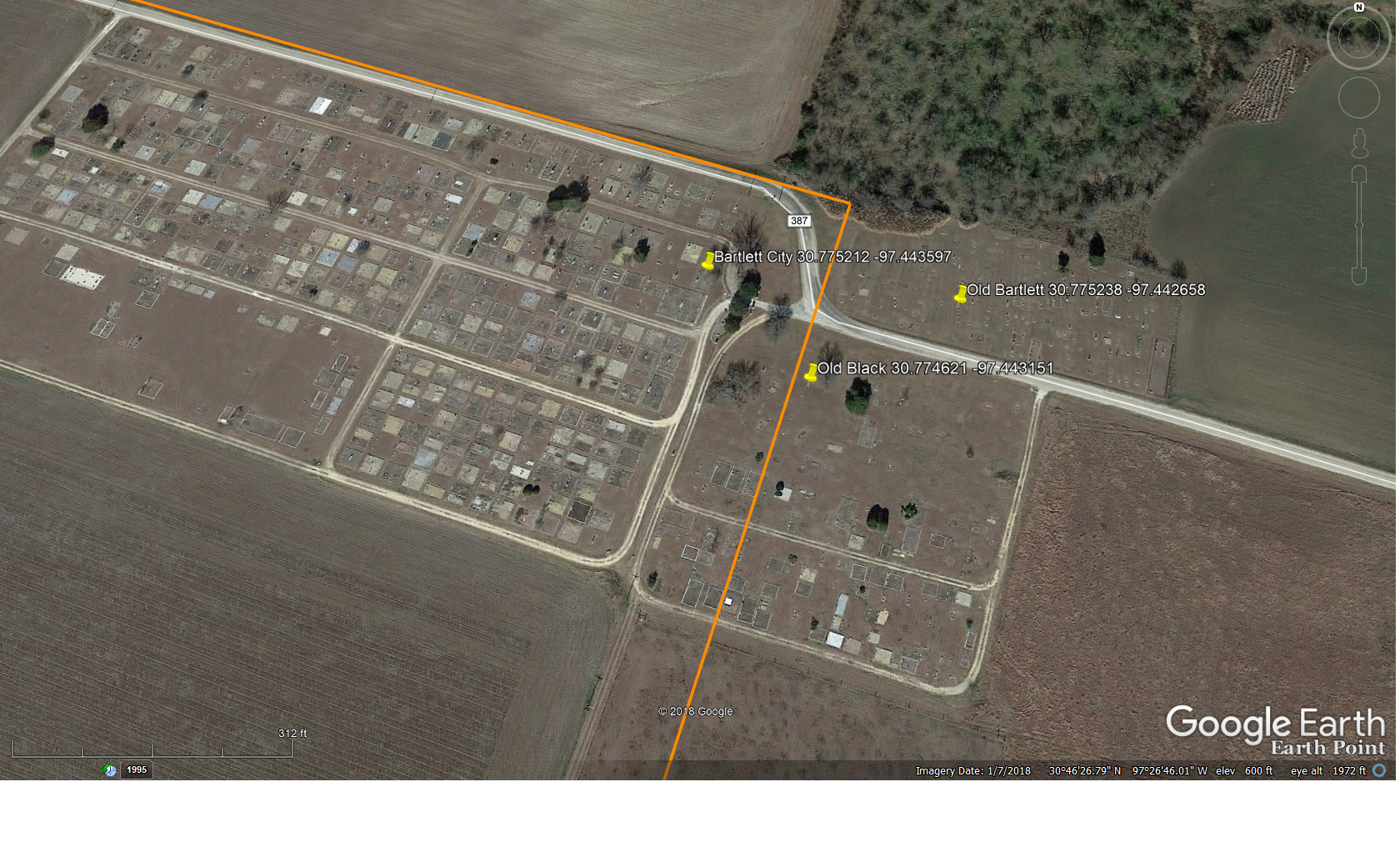
Bartlett Cemeteries on Google Earth with Coordinates
Notes:
2016 WCAD: 1200 CR 387, Bartlett.
From Bartlett go S on SH 95 one mile, R on Cr 302 [CR387] for 0.5 mile.
2019 Find-A-Grave: “This cemetery is withing sight of TX-95 and the junction with CR-387. There are three cemeteries here, The Old Black Cemetery on the left as you turn west on CR-387 and the Old Bartlett Cemetery is on your right and just across from the Old Black Cemetery. Continue West on CR-387 and the Bartlett City Cemetery will be directly ahead. CR-387 turns north and then west and passes along the north side of the Bartlett City Cemetery which is entirely enclosed by a fence.”
Location is Approximate (1999 Map Information): (1999 mapped H2) Verified 8/26
Latitude: 30.775212
Longitude: -97.443597
- Old Bartlett: 30.775238; -97.442658 = 1375 CR 387
- Old Black: 30.774621; -97.443151 = 1200 CR 387
365